What is recorded here
Glasleck holds a broad earthen ring where human hands shaped the soil long before modern fields claimed its edge. The west ground remains scarred by curious digging, perhaps revealing the quern stone that once grounded daily life inside this forgotten home. Fairy fort is the local name, but the shape speaks to people who lived, worked and departed without leaving a gate behind.
Raised subcircular area (int. dims. 28m E-W; 31m N-S) enclosed by a low earthen bank. No surviving indication of an external fosse. From NW-N-ENE the perimeter has been incorporated into the field boundary. Original entrance not recognisable. At the centre of the internal area and in the W quadrant the ground level is much disturbed as a consequence of digging. (Ó Ríordáin, Prendergast and Rynne 1962, 156) recorded the upper stone of a quern which was discovered at the site.
The above description is derived from the published 'Archaeological Inventory of County Cavan' (Dublin: Stationery Office, 1995). In certain instances the entries have been revised and updated in the light of recent research.
Date of upload/revision: 22 December 2008
The monument record does not grant public access. Check the route and ask the landowner before entering private land.
- What survives
- Recorded monument
Places near here
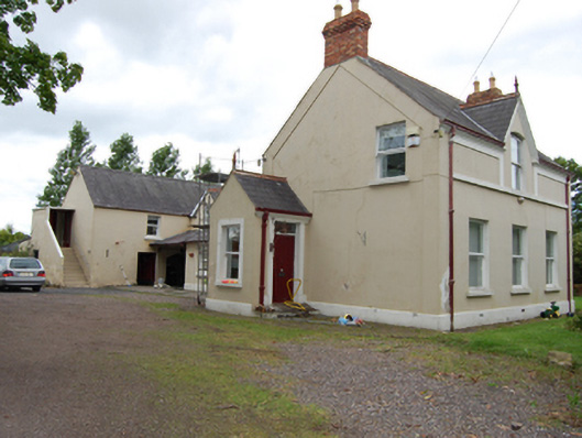 The Mansemanse · 469 yd
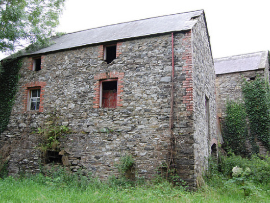 Glasleck Millmill (water) · 533 yd
 Green IslandIsland · 612 yd
 IndicatedPromontory fort, inland · 646 yd
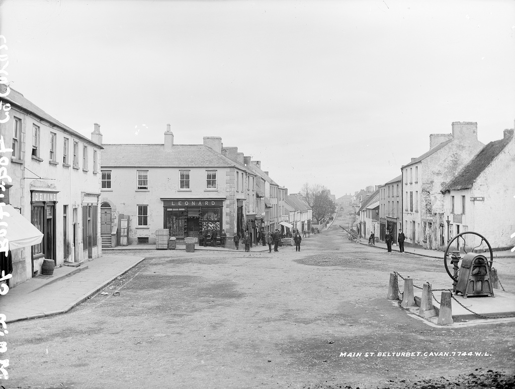 Bloomers FortArchaeological place · 1190 yd
 NolaghWood · 1.6 mi
 Bawn in LisdrumskeaBawn · 1.7 mi
 Kilmacaran IslandIslet · 1.9 mi
 Sillan LakeshoreWood · 1.9 mi
 DerrynureMountain / peak · 2.0 mi
 CorravillaMountain / peak · 2.2 mi
 Welcome to Bailieborough DemesneVisitor information · 3.4 mi