What is recorded here
No visible castle wall or grand tower, only a shallow earthen ring on a grassy hillock above the Goul river valley. The fairies may have taken the stones and kept the memory of the shape. What remains is a small circular threshold, wide enough to walk through and odd enough to remember.
On a steep-sided hillock above the floor of the Goul river valley, in rolling grassland, with good views across the valley. A circular area (int. diam. c. 28m) enclosed by a wide earthen bank (Wth 2-3m; int. H c. 1m; ext. H 1.5m), fosse (Wth 2m; D 0.8m) and outer bank (Wth 3m; ext. H 1m). There is an entrance (Wth at inner bank 5m; Wth at outer bank 2.5m) with ramp at NE. The interior is irregular and slopes slightly to the E. The SE quadrant is quite denuded.
Compiled by: Jean Farrelly
Date of upload: 28 September 2017
The monument record does not grant public access. Check the route and ask the landowner before entering private land.
- What survives
- Recorded monument
Places near here
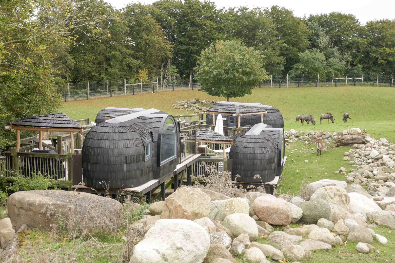 Enclosure in GlashareEnclosure · 370 yd
 Street fieldArchaeological place · 401 yd
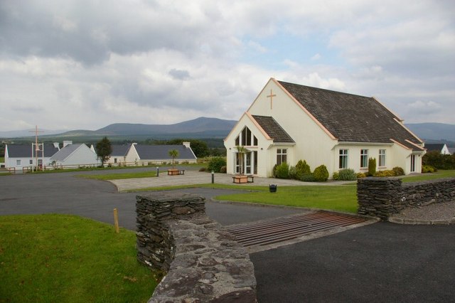 Church in GlashareChurch · 441 yd
 Glashare CastleCastle, tower house · 457 yd
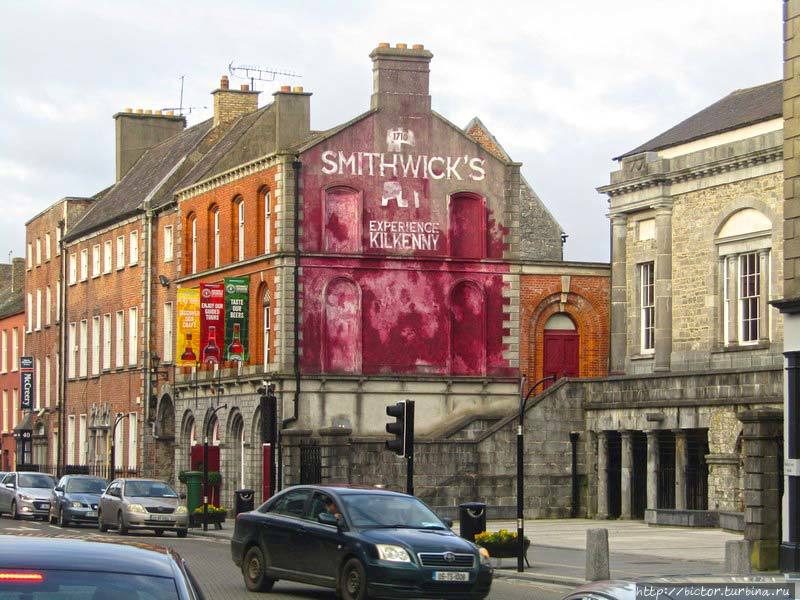 Glashare Ringfort (rath)Archaeological place · 611 yd
 farm housefarm house · 1254 yd
 CastleCastle, unclassified · 1.0 mi
 DelaneyMemorial · 2.8 mi
 John HelyMemorial · 2.9 mi
 Clomantagh HillMountain / peak · 3.1 mi
 The CopseWood · 6.1 mi
 Anker's IslandIsland · 7.0 mi