What is recorded here
Situated on a slight rise in the curved hollow at the base of the NW-facing slope of a NE-SW section of an esker ridge where it turns NW. The cropmark of a circular area (diam. c. 30m) defined by a single fosse feature (diam. c. 30m) with an entrance at SE is visible on aerial photographs (ME037-048_1 to _4). It has an internal fosse that is only visible W-N. The motte (ME037-020----) is overlooking it c. 50m to the SE. It is also visible on Google Earth (14/07/2018)
Compiled by Michael Moore based on details provided by Noel and Conor Murphy.
Date of upload: 7 August, 2018
Amended: 21 August 2019
The monument record does not grant public access. Check the route and ask the landowner before entering private land.
- What survives
- Recorded monument
Places near here
 Ginnets MoatCastle, motte · 100 yd
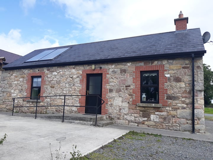 Enclosure in WindtownEnclosure · 1462 yd
 Saints IslandForest · 1.1 mi
 Dangan CastleCastle, tower house · 1.3 mi
 EnclosureEnclosure, large enclosure · 1.3 mi
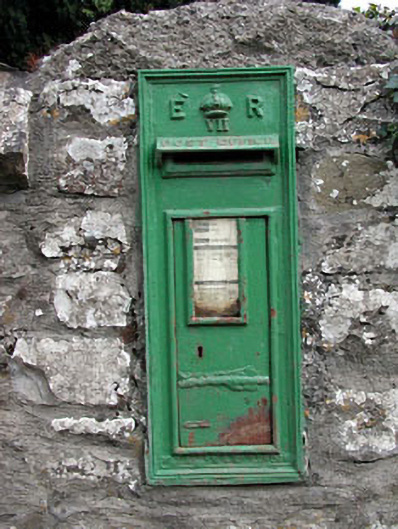 post boxpost box · 1.4 mi
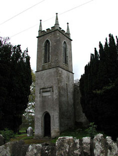 Saint Mary's Church (Galtrim)church/chapel · 1.4 mi
 European ashEuropean ash · 2.4 mi
 MullaghMountain / peak · 6.0 mi
 1798 MemorialMemorial · 6.8 mi
 Lismahon 1798 MemorialMonument · 8.7 mi
 Candle HillMountain / peak · 9.1 mi