What is recorded here
Situated on a natural hillock in grassland, overlooking poorly drained land to the S that is now planted with forestry, and wide views from N-E-S. Ringfort (WM012-016----) lies 200m to E. This natural hillock was scarped to form a circular shaped area (approx. diam. 23m N-S; 24m E-W) defined by a scarp with no trace of a bank and faint traces of a fosse visible from S-W. The interior slopes steeply from N-S. There are vague suggestions of a ramped-entrance (Wth 3m) at S. Outline of monument clearly visible on Digital Globe aerial photograph taken November 2011.
See attached profile of monument surveyed and drawn by the ASI.
Compiled by: Frank Coyne and Caimin O'Brien
Date of upload: 15 November 2017
The monument record does not grant public access. Check the route and ask the landowner before entering private land.
- What survives
- Recorded monument
Places near here
 Concentric enclosure in FroghanstownConcentric enclosure · 1430 yd
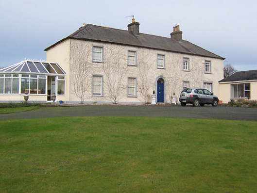 Gartlandstown Studhouse · 1567 yd
 Taghmon CastleCastle, tower house · 1650 yd
 Saint Munna's Church (Taghmon)church/chapel · 1705 yd
 OutlinedEcclesiastical enclosure · 1.1 mi
 KnockeyonMountain / peak · 1.6 mi
 CastleCastle, motte · 2.3 mi
 Castle IslandIslet · 3.3 mi
 Long PlantingForest · 4.2 mi
 South East GateHeritage attraction · 4.7 mi
 Scragh Bog Nature ReserveNature reserve · 4.7 mi
 St Feichin's MillHeritage attraction · 4.8 mi