What is recorded here
An earthen ringfort stands in Garrysallagh (o'reilly), marked as a fort on Ordnance Survey maps from 1836 and 1876. The site sits on a high ridge above a stream, where a low circular mound still spans twenty-four metres. Humans may have built the fort for defence or residence, while local imagination later assigned it to fairies. Both claims point to the same place: a made shape that time has softened into landscape.
Marked 'Fort' on OS 1836 and 1876 eds. Situated on a ridge of high ground overlooking a stream. All that survives to indicate the presence of the site is a low roughly circular flat-topped earthen mound (diam. c. 24m E-W).
The above description is derived from the published 'Archaeological Inventory of County Cavan' (Dublin: Stationery Office, 1995). In certain instances the entries have been revised and updated in the light of recent research.
Date of upload/revision: 22 December 2008
The monument record does not grant public access. Check the route and ask the landowner before entering private land.
- What survives
- Recorded monument
Places near here
 St Bride's Church of Ireland Churchchurch/chapel · 739 yd
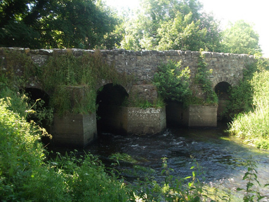 bridgebridge · 758 yd
 Fairy fort / earthen ringfort in Garrysallagh (o'reilly)Fairy fort / earthen ringfort · 855 yd
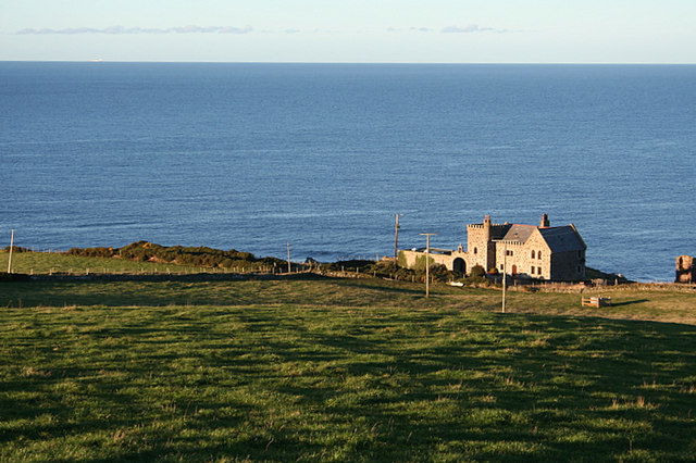 Promontory fortPromontory fort, inland · 866 yd
 Crover Old Castle (in Ruins)Castle, tower house · 1271 yd
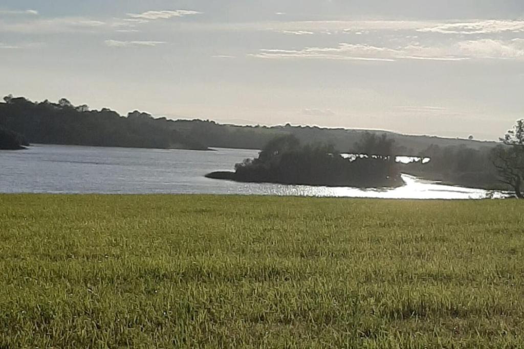 Dinner IslandIslet · 1392 yd
 In Loving Memory of Killian CaseyMemorial · 1475 yd
 CastleCastle, motte and bailey · 1653 yd
 Wall IslandIslet · 1743 yd
 Bob's GroveForest · 1.7 mi
 Ross BayBay · 2.2 mi
 Muldarry PointHeadland · 2.3 mi