
What is recorded here
Castle, motte and bailey in Racraveen stands where a wide river bends to encircle its north-east half, leaving the rest guarded by a shallow fosse that has nearly vanished from sight. Its steep oval mound rises nearly six metres, still carrying the broken stone foundation of a small rectangular chamber on top. Davies wondered whether this was the Nugent castle hidden in old documents, but the river and earth offer no final answer.
Situated at a bend in a wide river which encircles the NE half of the site. Elsewhere enclosed by a wide, shallow fosse now identifiable only from SE-S-WNW. The motte comprises a high, steep-sided, flat-topped oval earthen mound (H 3m - 5.75m; dims of base c. 38m NW-SE; c. 27m NE-SW), the summit of which (int. dims 32.4m NW-SE; 23.3m NE-SW) is enclosed by the remains of a low earthen bank. Foundations of a rectangular stone building (int. dims c. 8m E-W; c. 6m N-S) occur on the summit. Break in bank with accompanying causeway at SW represents original entrance. Traces of possible rectangular bailey to SW. Davies (1947a, 87) speculated that this may be the location of a Nugent castle noted in historical documents.
The above description is derived from the published 'Archaeological Inventory of County Cavan' (Dublin: Stationery Office, 1995). In certain instances the entries have been revised and updated in the light of recent research.
Date of upload: 22 December 2008
The monument record does not grant public access. Check the route and ask the landowner before entering private land.
- What survives
- Recorded monument
Places near here
 Mass-rock in MountnugentMass-rock · 376 yd
 Church in Gallonreagh (clanmahon By.)Church · 435 yd
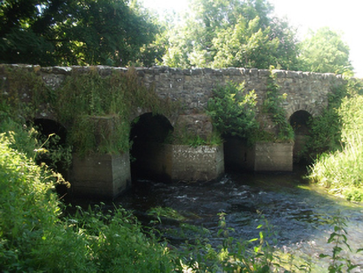 bridgebridge · 1002 yd
 Fairy fort / earthen ringfort in Garrysallagh (o'reilly)Fairy fort / earthen ringfort · 1.1 mi
 In Loving Memory of Killian CaseyMemorial · 1.4 mi
 Crover Old Castle (in Ruins)Castle, tower house · 1.6 mi
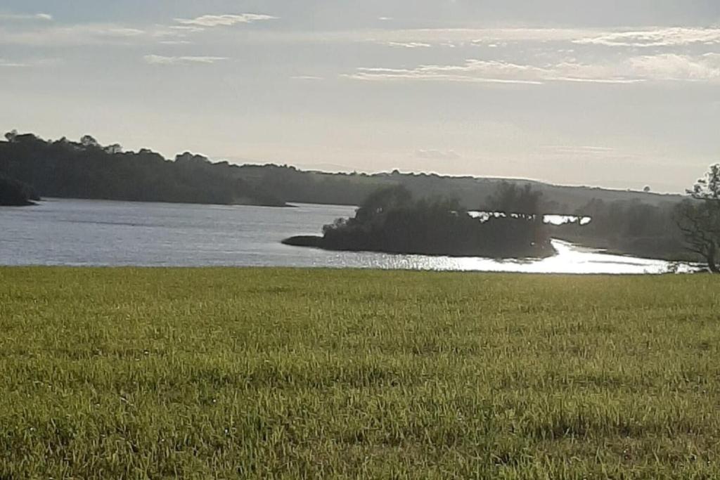 Dinner IslandIslet · 1.7 mi
 Stony IslandIslet · 1.9 mi
 Bob's GroveForest · 2.3 mi
 Ross CastleCastle, tower house · 2.7 mi
 Saint Joseph's Catholic CemeteryMemorial · 3.1 mi
 Ross BayBay · 3.1 mi
Other information
Photo: Credit not shown in the picture search · Rights wording not checked; contact us if this picture should be removed