
What is recorded here
Disused roughly circular graveyard containing a large number of 18th, 19th and 20th-century inscribed gravestones, the earliest dating to 1720. In addition there are a number of uninscribed crude stone crosses and grave-markers. Davies (1948, 96) recorded this as the location of 'the old parish church in Gallonreagh' and noted that a field c. 160m to W is known as 'Church Field' (CV038-067----). No visible remains of church at ground level.
The above description is derived from the published 'Archaeological Inventory of County Cavan' (Dublin: Stationery Office, 1995). In certain instances the entries have been revised and updated in the light of recent research.
Date of upload/revision: 22 December 2008
The monument record does not grant public access. Check the route and ask the landowner before entering private land.
- What survives
- Recorded monument
Places near here
 CastleCastle, motte and bailey · 435 yd
 Mass-rock in MountnugentMass-rock · 797 yd
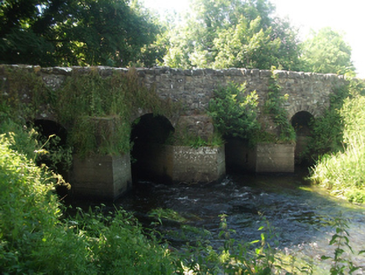 bridgebridge · 1258 yd
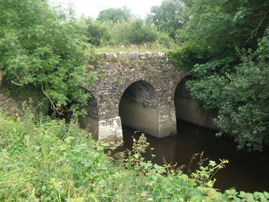 Kilnacrott Bridgebridge · 1332 yd
 Dún na SíogaArchaeological place · 1.1 mi
 In Loving Memory of Killian CaseyMemorial · 1.4 mi
 Crover Old Castle (in Ruins)Castle, tower house · 1.6 mi
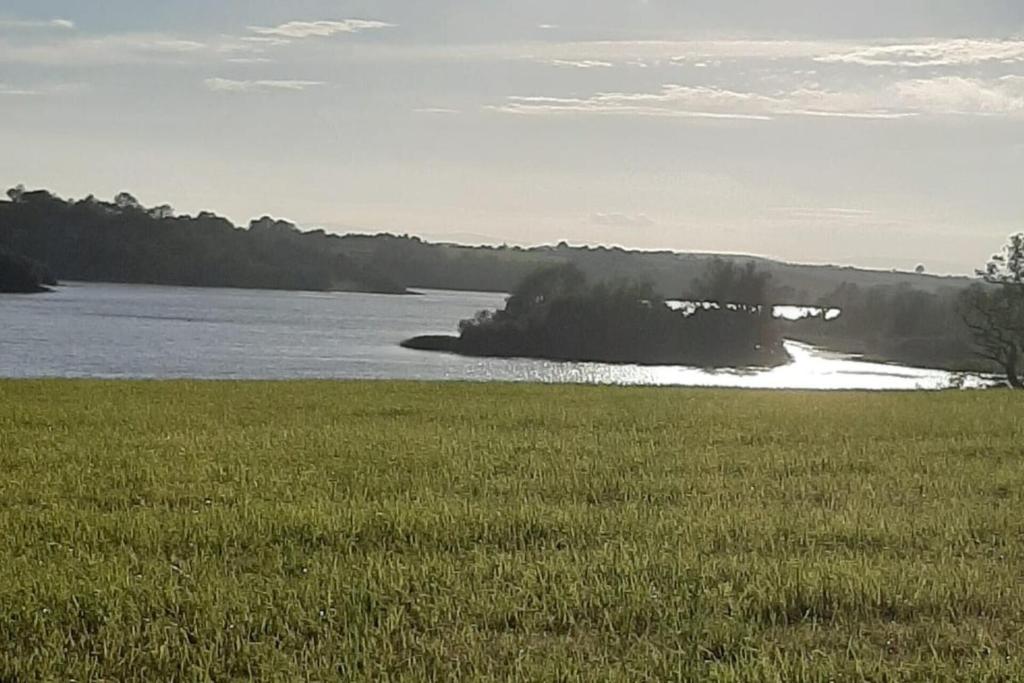 Dinner IslandIslet · 1.7 mi
 Stony IslandIslet · 1.9 mi
 Bob's GroveForest · 2.5 mi
 Saint Joseph's Catholic CemeteryMemorial · 3.0 mi
 Ross BayBay · 3.2 mi
Other information
Photo: Credit not shown in the picture search · Rights wording not checked; contact us if this picture should be removed