What is recorded here
Garrysallagh held a large circular fort divided by a road before pasture and time erased its marks. The land still remembers the shape even when human eyes no longer can.
Depicted on OS 1836 and 1876 eds. as a large circular enclosure with the designation 'Fort' divided into two unequal portions by a roadway running NNW-ESE. Situated in relatively level pasture-land. Not visible at ground level.
The above description is derived from the published 'Archaeological Inventory of County Cavan' (Dublin: Stationery Office, 1995). In certain instances the entries have been revised and updated in the light of recent research.
Date of upload/revision: 22 December 2008
A fairy fort or earthen ringfort in Garrysallagh, likely dating to the early medieval period, is represented on the 1836 and 1876 Ordnance Survey maps as a large circular enclosure split by a roadway. Local tradition associates such sites with supernatural or fairy activity, though specific folklore for this example is not recorded.
The monument record does not grant public access. Check the route and ask the landowner before entering private land.
- What survives
- Recorded monument
Places near here
 Old R. C. ChapelChurch · 213 yd
 CrossCross, Wayside cross · 231 yd
 Fairy fort / earthen ringfort in Garrysallagh (o'reilly)Fairy fort / earthen ringfort · 920 yd
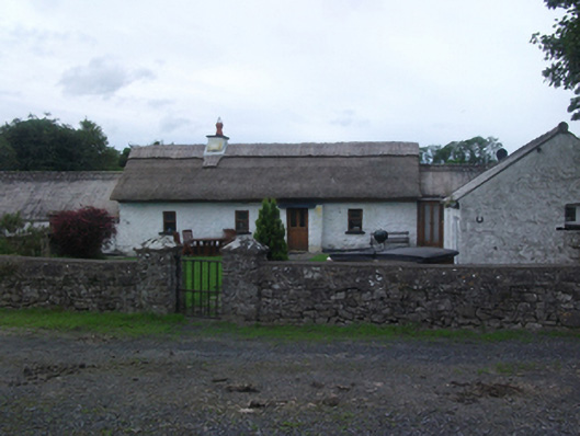 Sheelin Cottagefarm house · 1262 yd
 Wall IslandIslet · 1304 yd
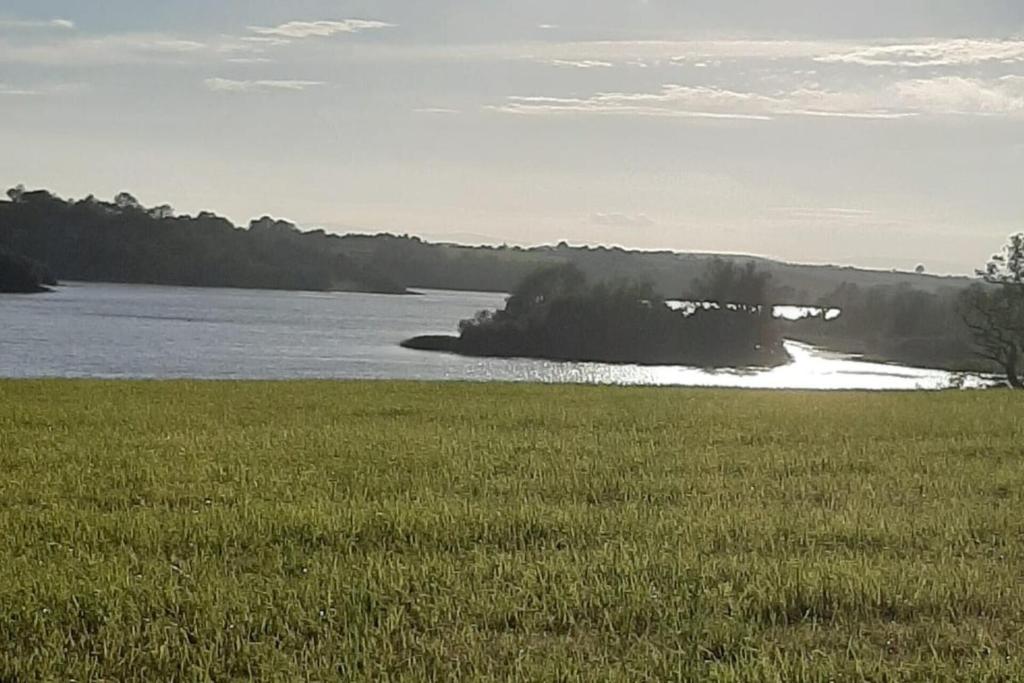 Dinner IslandIslet · 1446 yd
 Crover Old Castle (in Ruins)Castle, tower house · 1591 yd
 Bob's GroveForest · 1756 yd
 Ross CastleCastle, tower house · 1.2 mi
 In Loving Memory of Killian CaseyMemorial · 1.3 mi
 Ross BayBay · 1.7 mi
 Muldarry PointHeadland · 1.9 mi