What is recorded here
Thirty-three metres of packed earth still stand in Garrynagranoge pasture, though cattle have flattened half the circle into a gentle grass ridge. The remaining bank rises one and a half metres where the soil held firm, marking a boundary that cut across the townland itself rather than sitting politely inside it. People may have lived behind that ridge, or simply drawn a line through the land and called the other side theirs. Either way, the earth remembered the shape long after the hands that made it disappeared.
In pasture, on gentle SE-facing slope. Depicted as hachured circular raised area on 1905 and 1936 OS 6-inch maps, incorporated on NW side into townland boundary; not depicted on 1842 OS 6-inch map except for arc in townland boundary. Circular area (42m N-S; 337m E-W) defined by earthen bank (max. int. H 1.75m; ext. H 1.5m) W->NE with faint trace of external fosse; levelled bank survives as grass-covered rise (H 0.65m) elsewhere. Fosse clearly visible NE->W due to differential growth pattern.
The above description is derived from the published 'Archaeological Inventory of County Cork. Volume 4: North Cork' (Dublin: Stationery Office, 2000). In certain instances the entries have been revised and updated in the light of recent research.
Date of upload/revision: 14 January 2009
The monument record does not grant public access. Check the route and ask the landowner before entering private land.
- What survives
- Recorded monument
Places near here
 Enclosure in Ardmore (orrery and Kilmore By.)Enclosure · 348 yd
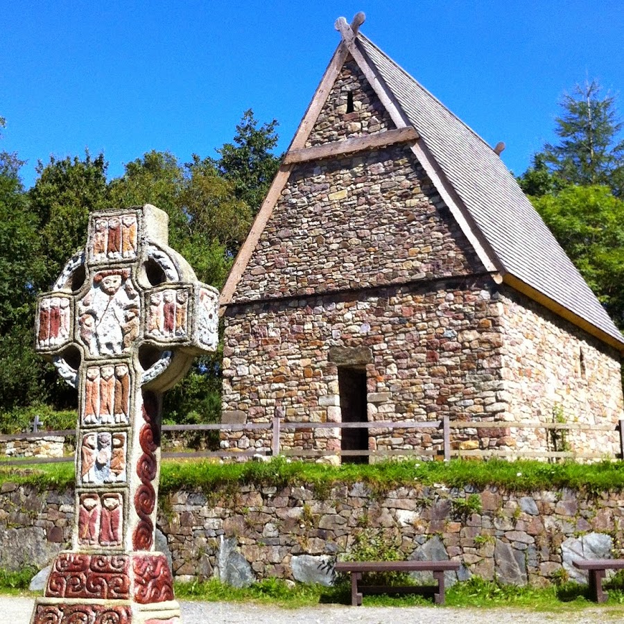 Fulacht FiadhFulacht fia · 1106 yd
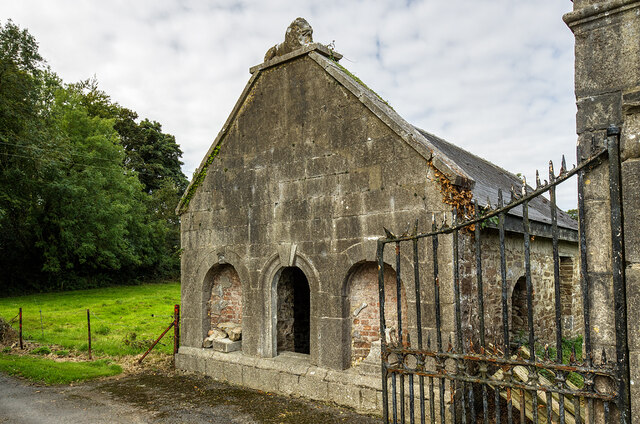 Milltown Castledemesne walls/gates/railings · 1403 yd
 Cloch an Othara HouseHouse, vernacular house · 1711 yd
 TumulusCastle, motte · 1.4 mi
 CastleCastle, motte · 1.9 mi
 Holy Cross CemeteryGraveyard · 1.9 mi
 Windmill HillMountain / peak · 4.1 mi
 Ballyhoura WayWalking route · 4.4 mi
 ToberSpring · 4.5 mi
 Lady's WellSpring · 4.5 mi
 BallinaboolaVisitor information · 4.7 mi