
What is recorded here
Ardmore, County Cork: an ovoid enclosure with a thirty-metre east-west axis, narrowing toward the east, its fosse revealed only when crops grew unevenly above buried earth. A ringfort sat twenty metres to the northwest near the old field fence, while smaller circular marks and linear shadows scattered through the same ground. The field may have held a small settlement rather than a single ceremonial place, with people moving between its rings and lines before ploughing and fencing changed the surface.
Cropmark of fosse of ovoid enclosure (long axis c. 30m E-W, narrowing towards E end) visible in aerial photograph (CASAP, July 1989). Ringfort (12049) c. 20m to NW on N side of levelled field fence shown on 1842 OS 6-inch map. At least three roughly circular maculae (diam. <10m) also noted in field: one c. 200m to NW and two c. 130m and c. 150m to SW and SSE respectively. Several linear cropmarks also noted in same field.
The above description is derived from the published 'Archaeological Inventory of County Cork. Volume 4: North Cork' (Dublin: Stationery Office, 2000). In certain instances the entries have been revised and updated in the light of recent research.
Date of upload/revision: 14 January 2009
The monument record does not grant public access. Check the route and ask the landowner before entering private land.
- What survives
- Recorded monument
Places near here
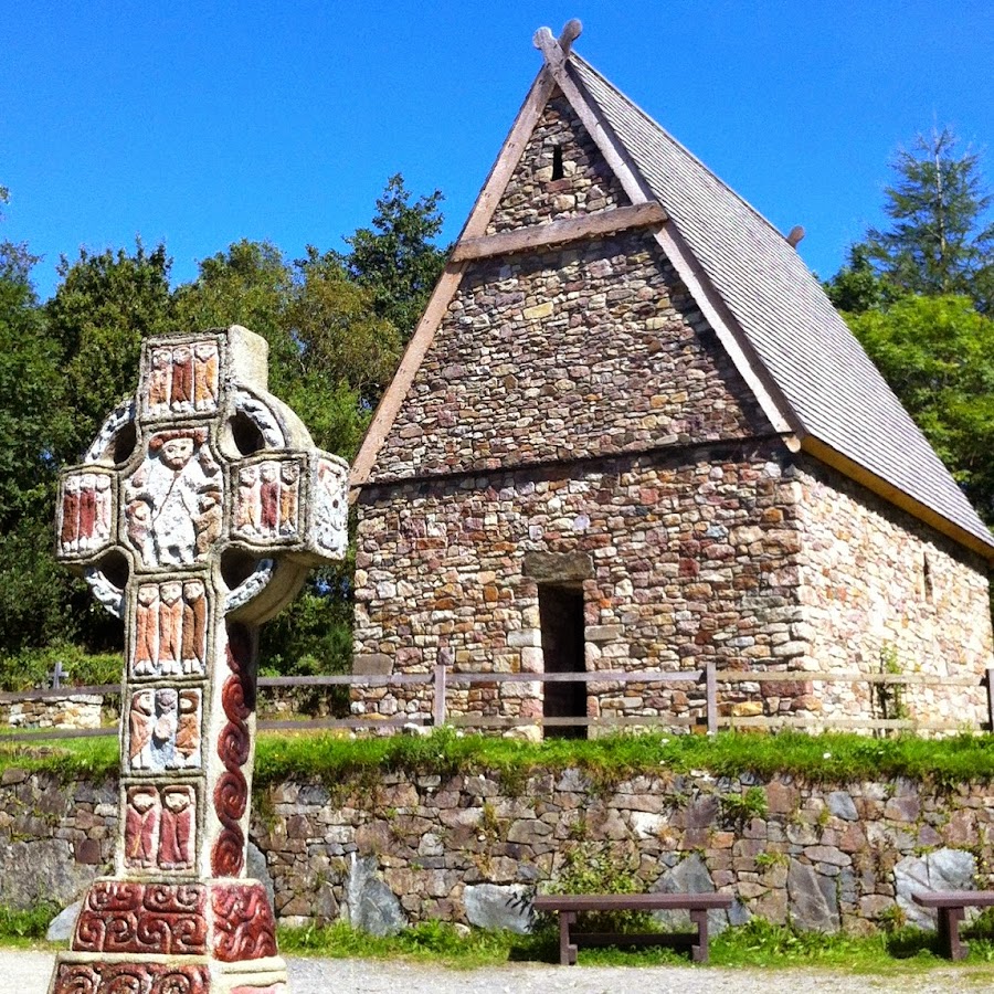 Fulacht FiadhFulacht fia · 787 yd
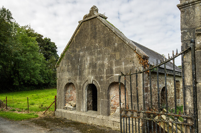 Milltown Castledemesne walls/gates/railings · 1080 yd
 LissareeFairy fort / earthen ringfort · 1116 yd
 Cloch an Othara HouseHouse, vernacular house · 1551 yd
 TumulusCastle, motte · 1.5 mi
 CastleCastle, motte · 1.7 mi
 Holy Cross CemeteryGraveyard · 2.1 mi
 Windmill HillMountain / peak · 3.9 mi
 Ballyhoura WayWalking route · 4.2 mi
 ToberSpring · 4.6 mi
 Lady's WellSpring · 4.7 mi
 BallinaboolaVisitor information · 4.7 mi
Other information
Photo: Credit not shown in the picture search · Rights wording not checked; contact us if this picture should be removed