What is recorded here
Fairy fort / earthen ringfort in Garrykennedy is a fairy fort or earthen ringfort in Garrykennedy, County Tipperary, Ireland. The site sits on a break in a northeast-facing slope in rolling pastureland, about 40 metres northwest of another possible ringfort. Leveling has removed most of the enclosure, but a curving scarp and the slope break still mark the area. A field boundary now crosses the site, leaving a platform about 20 metres from north to south along the hedgerow.
Situated on a break in a NE-facing slope in rolling pastureland with another possible ringfort (TN013-011) c. 40m to the NW. Indicated as a circular enclosure defined by a bank on the 1st ed. OS 6-inch map and as a roughly circular hachured area on the latest ed. The site has been levelled but slight remains are indicated by a break in the slope and the remains of a curving scarp. A field boundary now crosses the field and transects the site. The platform is c. 20m N-S along the hedgerow which is a smaller diameter than would be expected from its depiction on the latest ed. OS 6-inch map.
The above description is derived from 'The Archaeological Inventory of County Tipperary. Vol. 1 - North Tipperary' compiled by Jean Farrelly and Caimin O'Brien (Dublin: Stationery Office, 2002). In certain instances the entries have been revised and updated in the light of recent research.
Date of upload/revision: 22 September 2008
The monument record does not grant public access. Check the route and ask the landowner before entering private land.
- What survives
- Recorded monument
Places near here
 Enclosure in GarrykennedyEnclosure · 776 yd
 Shesharoe Housepresbytery/parochial/curate's house · 948 yd
 Old Tug of War DeviceMonument · 1093 yd
 CopperminesCave · 1270 yd
 Mine in GarrykennedyMine · 1273 yd
 Garrykennedy ForestWood · 1328 yd
 Garrykennedy Castle (in ruins)Castle, tower house · 1553 yd
 Mass RockNamed rock · 1.1 mi
 Freagh WoodWood · 1.2 mi
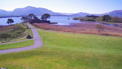 Castle (in ruins)Castle, tower house · 1.5 mi
 Youghal BayBay · 1.6 mi
 Scilly IslandIslet · 2.3 mi