What is recorded here
Garryduff held a thirty-metre earthen ring before ploughs and pasture erased most of its shape. The northeast quadrant still rises slightly above the rest, preserving a shadow of the chamber or shelter that once occupied the centre. Cows graze the flattened circle now, unaware that they walk across a forgotten room where human hands shaped soil into a boundary against the dark.
In pasture, on gentle SW-facing slope. Monument, depicted as embanked circular enclosure (diam. c. 30m) on 1924 OS 6-inch map, has been levelled. However, it is discernible now as scarped edge (H 0.1m; Wth 1.6m) with external fosse (D 0.1m; Wth 3m) enclosing circular area (diam. 28m). Northeast quadrant is slightly higher than rest of interior. Entire site under pasture.
Compiled by: Denis Power
Date of upload: 26 August 2011
The monument record does not grant public access. Check the route and ask the landowner before entering private land.
- What survives
- Recorded monument
Places near here
 Mahoonagh Church (in ruins)Church · 1667 yd
 Castle MahonCastle · 1675 yd
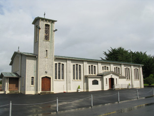 Catholic Church of Saint John the Baptistchurch/chapel · 1.1 mi
 Enclosure in Mahoonagh BegEnclosure · 1.3 mi
 TobermurryHoly well · 1.5 mi
 Mayne Ho.Castle, unclassified · 2.0 mi
 Garbally WellSpring · 2.6 mi
 ToberhoranSpring · 3.6 mi
 Ballagh MountainMountain / peak · 4.8 mi
 European ashEuropean ash · 5.3 mi
 Limerick GreenwayWalking route · 6.7 mi
 Sugar HillMountain / peak · 7.4 mi