What is recorded here
Half a million years of rain have softened the edge of Garroose, yet the circular bank still holds its shape in the marsh. The flat interior has become a tangle of fallen trees and bushes, while the shallow waterlogged ditch forgets its own depth. A fox has cut a covert through the inner bank, turning an ancient boundary into a living bedroom. The fort does not demand to be remembered; it waits for people to stop pretending that ownership requires a straight line.
In level marshy terrain. Circular area (diam. 37m) enclosed by earthen bank with external fosse (Wth 2m; D 0.2m). Bank (int. H 1.2ml ext. H 2.35m), best preserved W->E, is heavily masked by vegetation overgrowth. Breaks in bank at W (Wth 2m) and ESE (2.5m). Waterlogged fosse, clogged with organic debris, is very shallow at W and ESE. Flat interior is covered with bushes and strewn with fallen trees. Earth-cut fox covert on inner bank face at N.
Compiled by: Denis Power
Date of upload: 26 August 2011
The monument record does not grant public access. Check the route and ask the landowner before entering private land.
- What survives
- Recorded monument
Places near here
 San Giovannihouse · 450 yd
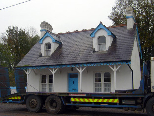 Cuan Mhuiregate lodge · 594 yd
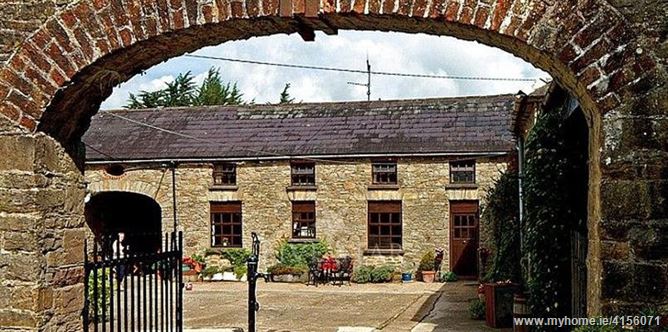 Enclosure in BrureeEnclosure · 689 yd
 Bruree Castle Upper (ruins)Castle · 1282 yd
 IndicatedHoly well · 1345 yd
 Eagle Mount MoteCastle, motte · 1583 yd
 King John's CastleCastle · 3.3 mi
 Lady's WellSpring · 3.8 mi
 ToberSpring · 3.9 mi
 Holy Cross CemeteryGraveyard · 4.5 mi
 KnockfeerinaMountain / peak · 7.8 mi
 Flat cemetery in Knockainy WestFlat cemetery · 9.2 mi