What is recorded here
Mortons and Delany wrote the claim twice, but neither name fits the rock or the water. The chamber belongs to the place, not to the men who first pointed at it.
The following description is derived from the published 'Archaeological Inventory of County Carlow' (Dublin: Stationery Office, 1993). In certain instances the entries have been revised and updated in the light of recent research.
Date of upload/revision: 17 July 2007
Circular, slightly raised area (diam. 25m; H 0.7m) enclosed by slightly defaced bank. No visible surface traces of fosse or entrance. Garden cuts into ringfort from NE-E-S.
A fairy fort, or earthen ringfort, in Garrettstown is a circular earthwork enclosure typical of early-medieval Ireland, likely dating to between the 5th and 10th centuries AD. Local folklore associates such sites with the supernatural, often believed to be the dwellings of fairies or other otherworldly beings.
The monument record does not grant public access. Check the route and ask the landowner before entering private land.
- What survives
- Recorded monument
Places near here
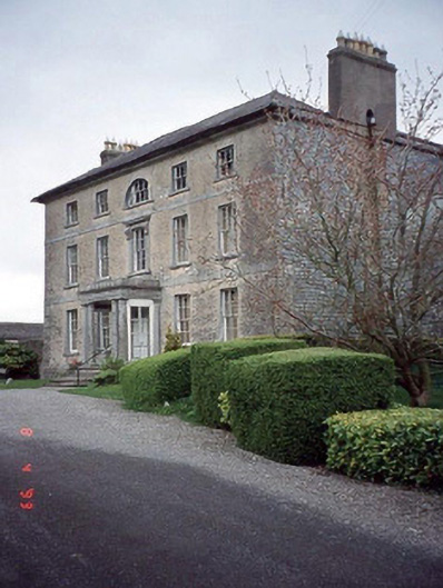 Beechy Parkcountry house · 825 yd
 Enclosure in Ricketstown SouthEnclosure · 1289 yd
 Enclosure in BroughillstownEnclosure · 1420 yd
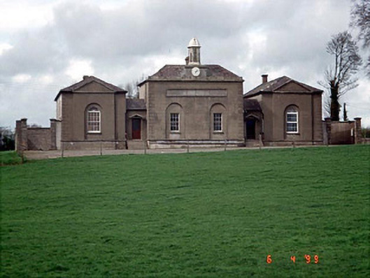 D'Israeli Schoolschool master's house · 1722 yd
 Rahill Church (in ruins), GraveyardChurch · 1.2 mi
 Site of CastleCastle, unclassified · 2.1 mi
 Church (in ruins), Cross, GraveyardChurch · 2.7 mi
 CastleCastle, unclassified · 3.0 mi
 European BeechEuropean Beech · 4.1 mi
 Tinoran HillMountain / peak · 4.5 mi
 European ashEuropean ash · 4.5 mi
 Duckett's GroveHeritage attraction · 4.6 mi