What is recorded here
Fairy fort in Garraunigerinagh, County Cork: a 24-metre earthen ring on a pasture slope, its bank partly stone-faced and partly swallowed by fence and grass. The shape survives although people have levelled, quarried and built around it for centuries. What the ring kept out, or held back, has never been written down.
In pasture, on NE-facing slope. Roughly circular area (24m N-S) enclosed by low earthen bank (int. H 0.3m; ext. H 0.9m). Bank incorporated into field fence system ENE->W; higher than elsewhere and heavily overgrown; lower section stone faced. Bank levelled NNE->ENE. Depression outside bank to NW appears to be due to quarrying.
The above description is derived from the published 'Archaeological Inventory of County Cork. Volume 4: North Cork' (Dublin: Stationery Office, 2000). In certain instances the entries have been revised and updated in the light of recent research.
Date of upload/revision: 14 January 2009
The monument record does not grant public access. Check the route and ask the landowner before entering private land.
- What survives
- Recorded monument
Places near here
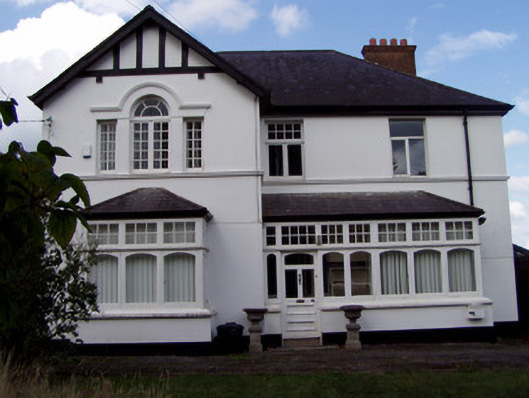 Ballinamona Househouse · 809 yd
 Military Cemetery (Disused)Burial ground · 1008 yd
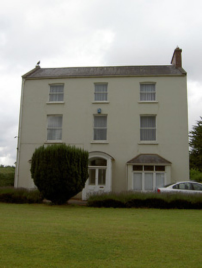 Sunmount Househouse · 1014 yd
 Grave YdGraveyard · 1021 yd
 GarraunigerinaghCastle(inRuins) (1936)*Castle, tower house · 1349 yd
 Tourist InformationVisitor information · 1.2 mi
 Graveyard in FermoyGraveyard · 1.2 mi
 Old Railway ViaductViewpoint · 1.5 mi
 Castle Hyde (in Ruins)Castle, tower house · 1.5 mi
 Ballybrack WoodForest · 2.3 mi
 Corrin WoodsWood · 2.6 mi
 St Dominick's WellSpring · 3.7 mi