
What is recorded here
On SW side of crossroads. Roughly rectangular graveyard (c. 68m NNE-SSW; c. 60m max. WNW-ESE), enclosed by low stone wall. Ruin of parish church of Kilcrumper (14442) just N of centre. In use; many low uninscribed grave markers, especially to N of church. Graves in interior of church, including oldest noted headstone, dated to 1769; Rice (1922, 98) noted headstones dating to 1740s.
The above description is derived from the published 'Archaeological Inventory of County Cork. Volume 4: North Cork' (Dublin: Stationery Office, 2000). In certain instances the entries have been revised and updated in the light of recent research.
Date of upload/revision: 14 January 2009
The monument record does not grant public access. Check the route and ask the landowner before entering private land.
- What survives
- Recorded monument
Places near here
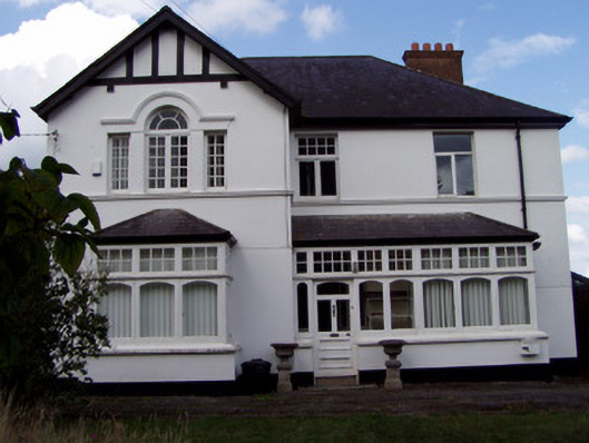 Ballinamona Househouse · 845 yd
 Enclosure in BoherderrogeEnclosure · 1300 yd
 Carrigeen Househouse · 1338 yd
 Burial in GarraunigerinaghBurial · 1563 yd
 GarraunigerinaghCastle(inRuins) (1936)*Castle, tower house · 1760 yd
 Kilworth CastleCastle · 1.2 mi
 Old Railway ViaductViewpoint · 1.4 mi
 Tourist InformationVisitor information · 1.4 mi
 Kent BridgeMemorial · 1.4 mi
 Graveyard in FermoyGraveyard · 1.4 mi
 Ballybrack WoodForest · 2.6 mi
 Strawhall WoodForest · 2.7 mi
Other information
Photo: Credit not shown in the picture search · Rights wording not checked; contact us if this picture should be removed