What is recorded here
Briars and memory tangle inside a forty-metre circle on an east-facing slope in Garraun North. People called it a fairy fort, perhaps because the dead or forgotten still seem to occupy places the living have stopped naming. The earthen bank rises one metre outside and sixty centimetres inside, breaking into fence and drain where human usefulness cut through older shape. What was lost is not emptiness; it is a room waiting for recognition.
In pasture, on E-facing slope. Depicted as hachured circular enclosure (diam. c. 40m) on 1937 OS 6-inch map. Arc formed by earthen bank (int. H 0.6m; ext. H 1m) survives NNW->SE, with external fosse (D 0.3m). Bank replaced to S by E-W field fence, kinked to partially respect line of enclosure; truncated on W side by drain with field boundary to outside. Interior partially overgrown with briars.
The above description is derived from the published 'Archaeological Inventory of County Cork. Volume 3: Mid Cork' (Dublin: Stationery Office, 1997). In certain instances the entries have been revised and updated in the light of recent research.
Date of upload/revision: 14 January 2009
The monument record does not grant public access. Check the route and ask the landowner before entering private land.
- What survives
- Recorded monument
Places near here
 Fulachta FiadhFulacht fia · 1126 yd
 IndicatedFairy fort / earthen ringfort · 1719 yd
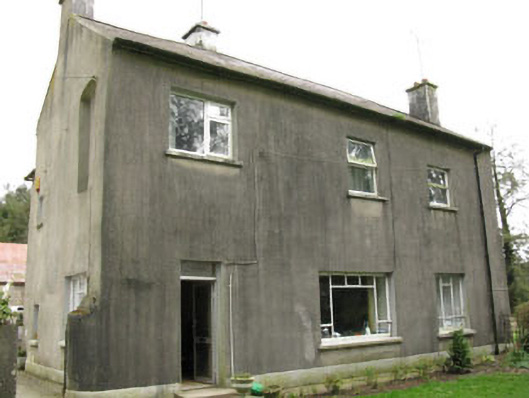 Davis Castlehouse · 1.0 mi
 farm housefarm house · 1.1 mi
 Ballyvodane Castle (in Ruins)Castle, unclassified · 1.6 mi
 Lyradane MountainMountain / peak · 2.2 mi
 Castle (Site of)Castle, unclassified · 2.4 mi
 Pairc Ath Na hEornaMemorial · 2.9 mi
 Rock HillMountain / peak · 2.9 mi
 New TipperaryVisitor information · 3.4 mi
 Pakie HoganMemorial · 3.8 mi
 Ballyanly Inniscarra Slí na SláinteWalking route · 4.9 mi