What is recorded here
Fairy forts are human ringforts misnamed by legend. This one in Garraun North has two banks, one ditch between them, and entrances pointing NNE. Cattle have grazed inside since people stopped living there, cutting the surface and feeding the grass on the stones. The fairies never appeared in the facts, but the shape still fits a household: a yard, a boundary, and a door left open for whoever still knows the way in.
In pasture, on NE-facing slope. Circular area (42m N-S; 40.9m E-W) defined by two earthen banks with intervening fosse. Inner bank (int. H 1.7m) mainly grass-covered; entrance (Wth 5.5m) to NNE. Outer bank (H 1.8m) heavily overgrown; entrance (Wth 3.5m) to NNE; gap to NW. Cattle kept in interior; surface badly cut up.
The above description is derived from the published 'Archaeological Inventory of County Cork. Volume 3: Mid Cork' (Dublin: Stationery Office, 1997). In certain instances the entries have been revised and updated in the light of recent research.
Date of upload/revision: 14 January 2009
The monument record does not grant public access. Check the route and ask the landowner before entering private land.
- What survives
- Recorded monument
Places near here
 Fulachta FiadhFulacht fia · 1249 yd
 IndicatedFairy fort / earthen ringfort · 1.2 mi
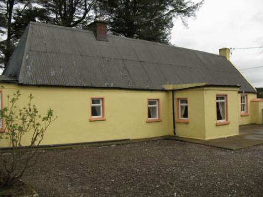 farm housefarm house · 1.2 mi
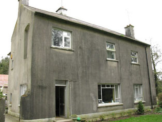 Davis Castlehouse · 1.2 mi
 Ballyvodane Castle (in Ruins)Castle, unclassified · 1.7 mi
 Lyradane MountainMountain / peak · 2.0 mi
 Rock HillMountain / peak · 2.8 mi
 Castle (Site of)Castle, Anglo-Norman masonry castle · 2.9 mi
 New TipperaryVisitor information · 3.0 mi
 Pairc Ath Na hEornaMemorial · 3.4 mi
 Graveyard in KilmonaGraveyard · 4.3 mi
 Saint Bartholomew's WellSpring · 5.2 mi