What is recorded here
Half-buried under centuries of grass and rain, the ringfort in Garranmaconly still holds its shape: a raised circle thirty metres wide, bounded by a low scarp and a shallow ditch. No doorway remains visible, as if the fort forgot how to be entered or decided humans must find their own way in. What is left is enough to picture: a small defended place, built and abandoned, now returning slowly to the field.
A raised circular area (diam. c. 30m) defined by a scarp (H c. 1m) from SW-NE, and a shallow external fosse from W-NW. No evidence of original entrance.
The above description is derived from the published 'Archaeological Inventory of County Laois' (Dublin Stationery Office, 1995) compiled by P. David Sweetman, Olive Alcock and Bernie Moran. In certain instances the entries have been revised and updated in the light of recent research.
Date of upload: 17 December 2007
The monument record does not grant public access. Check the route and ask the landowner before entering private land.
- What survives
- Recorded monument
Places near here
 IndicatedFairy fort / earthen ringfort · 453 yd
 Castle (in Ruins)Castle, tower house · 778 yd
 Fairy fort / earthen ringfort in GarranmaconlyFairy fort / earthen ringfort · 1150 yd
 Moat of SkirkeCastle, motte and bailey · 1732 yd
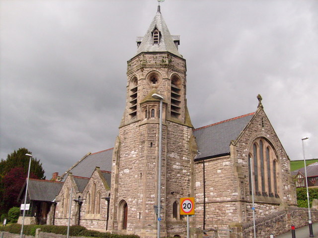 Church (in Ruins)Church · 1.0 mi
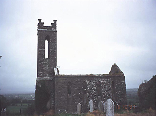 Skirk Churchchurch/chapel · 1.1 mi
 Carricknasrock WoodWood · 2.7 mi
 Black HillMountain / peak · 3.1 mi
 European BeechEuropean Beech · 4.2 mi
 Saint Kieran's WellSpring · 5.0 mi
 Millennium GardenMemorial · 6.2 mi
 Cnoc SeanrathaMemorial · 8.0 mi