What is recorded here
Fairy fort in Garranekeevan is a circular earthwork about forty-five metres across, with a scarped edge and an external ditch on the south-east. Overgrowth now hides much of the interior and boundary. Local information mentions a cave, suggesting a man-made underground passage may still exist beneath the grass. Whatever lives inside that hidden space, the ring remains a clear mark on the pasture, waiting for someone patient enough to find its way through.
In level pasture. Circular area (diam. c. 45m) defined by a scarped edge (H 1.7m; Wth 2.2m), with an external fosse (D 1.4m; Wth 4m) SW->SE. Interior and much of enclosing element are covered by impenetrable overgrowth. According to local information there is a "cave" here, suggesting the presence of a Man-made underground passage.
Compiled by: Denis Power
Date of upload: 26 August 2011
See attached ASI aerial photographs ASIAP – taken on 04/03/2006.
The monument record does not grant public access. Check the route and ask the landowner before entering private land.
- What survives
- Recorded monument
Places near here
 Churchtown Housecountry house · 874 yd
 bridgebridge · 1029 yd
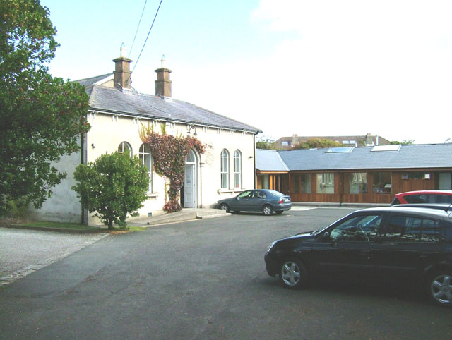 Enclosure in ChurchtownEnclosure · 1310 yd
 Burial GroundGraveyard · 1545 yd
 Templars Castle (in ruins)Castle, Anglo-Norman masonry castle · 1.2 mi
 CahermoyleCastle, unclassified · 2.9 mi
 St. Luke's WellSpring · 3.0 mi
 Limerick GreenwayWalking route · 3.7 mi
 St. Kieran's WellSpring · 3.8 mi
 European ashEuropean ash · 4.3 mi
 Sugar HillMountain / peak · 5.2 mi
 Ballagh MountainMountain / peak · 7.1 mi