What is recorded here
Fairy forts hide in plain sight, wearing grass and forgetting as protection. An earthen ringfort in Garranefeen stood on a gentle south-eastern slope until ploughs levelled it around 1982. There is no longer a ridge for fingers to follow, only a circular shadow in the pasture where the grass grows stunted, as if the ground still remembers the shape it was forced to release.
In pasture, on gentle ESE-facing slope. Levelled c. 1982. Site defined by circular area of stunted grass growth (diam. c. 27m).
The above description is derived from the published 'Archaeological Inventory of County Cork. Volume 1: West Cork' (Dublin: Stationery Office, 1992). In certain instances the entries have been revised and updated in the light of recent research.
Date of upload/revision: 14 January 2009
The monument record does not grant public access. Check the route and ask the landowner before entering private land.
- What survives
- Recorded monument
Places near here
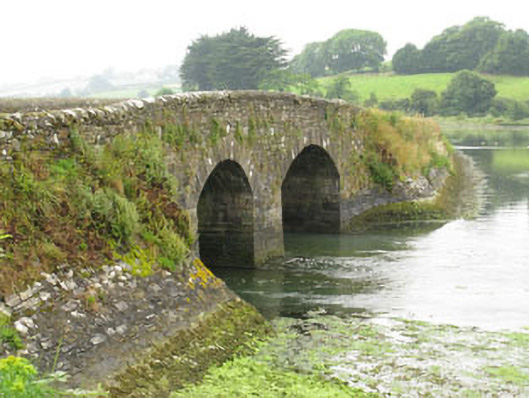 bridgebridge · 846 yd
 Garranefeen StrandBeach / strand · 966 yd
 Rathclarenrectory/glebe/vicarage/curate's house · 1205 yd
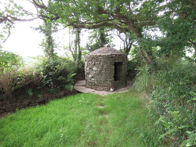 Trinity WellSpring · 1285 yd
 Flaxfort StrandBeach / strand · 1395 yd
 TobernasoolHoly well · 1693 yd
 Kilbrittain WoodWood · 1.1 mi
 Quay WoodWood · 1.1 mi
 Burial ground in ArdacrowBurial ground · 1.2 mi
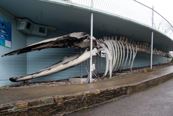 Kilbrittain WhaleHeritage attraction · 1.2 mi
 Castle (in Ruins)Castle, tower house · 1.3 mi
 CourtCastle, unclassified · 1.7 mi