What is recorded here
Fairy forts are a trick of the imagination; this is a rath, an earthen ringfort that once stood thirty-one yards wide on O'Keeffe's land in Garrane South. It has been levelled, perhaps by ploughs or perhaps by time, but the fact it was recorded means it resisted forgetting for a while. A single rampart is all it needed to hold a life inside, and that is enough to make the loss feel like a wound rather than a statistic.
Bowman (1934, 355) recorded levelled, single-ramparted fort (diam. c. 31yd) on Mr O'Keeffe's land. Exact location not known.
The above description is derived from the published 'Archaeological Inventory of County Cork. Volume 4: North Cork' (Dublin: Stationery Office, 2000). In certain instances the entries have been revised and updated in the light of recent research.
Date of upload/revision: 14 January 2009
The monument record does not grant public access. Check the route and ask the landowner before entering private land.
- What survives
- Recorded monument
Places near here
 IndicatedKiln, lime · 856 yd
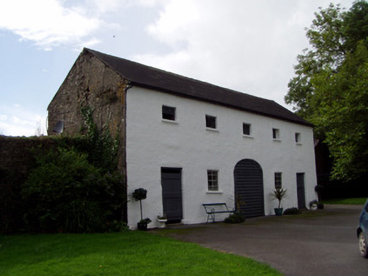 Keale Housefarmyard complex · 1071 yd
 Rathcool WoodWood · 1.4 mi
 Burial ground in Killowen (muskerry West By.)Burial ground · 1.6 mi
 Fulacht fia in Drishane Beg (muskerry West By.)Fulacht fia · 1.6 mi
 Castle and TurretCastle, tower house · 2.2 mi
 Drominagh Castle (Site of)Castle, unclassified · 2.4 mi
 Battle of Knocknaclashybattle · 2.4 mi
 Millstreet Tourist InformationVisitor information · 3.6 mi
 St. Patrick's ChurchVisitor information · 3.6 mi
 Millstreet Museum & Tourist Information CentreMuseum · 3.6 mi
 RowanRowan · 4.3 mi