What is recorded here
Fairy fort / earthen ringfort in Garrane (pubblebrien By.) stands in low-lying level pasture with good views in all directions. A raised circular area thirty metres across still shows a scarped earth-and-stone edge, shallow outer ditch and a possible north-west entrance, while the interior slopes gently toward the centre. People may have lived, herded or marked this place long before it became a fairy fort in local speech.
In low-lying level pasture with good views in all directions. Surveyed by the ASI in 2001 when described as a raised circular shaped area (diam. 30m) defined by an earth and stone bank reduced to a scarped edge (H 0.8m) and external fosse (Wth 3m; D 0.25 with a possible ramped entrance (Wth 3.2m) at NW. A field boundary runs along the outer edge of fosse from SW to NW. The interior slopes slightly to centre. The monument is clearly visible on Google Earth orthoimage taken 14/02/2020.
See attached sketch plan surveyed and drawn by the ASI and Google Earth orthoimage
Compiled by: Martin Fitzpatrick
Date of upload: 31 July 2020
The monument record does not grant public access. Check the route and ask the landowner before entering private land.
- What survives
- Recorded monument
Places near here
 Water millWater mill, horizontal-wheeled · 598 yd
 Toberlaghteen Holy WellHoly well · 733 yd
 European ashEuropean ash · 736 yd
 Fort ElizabethRuins · 820 yd
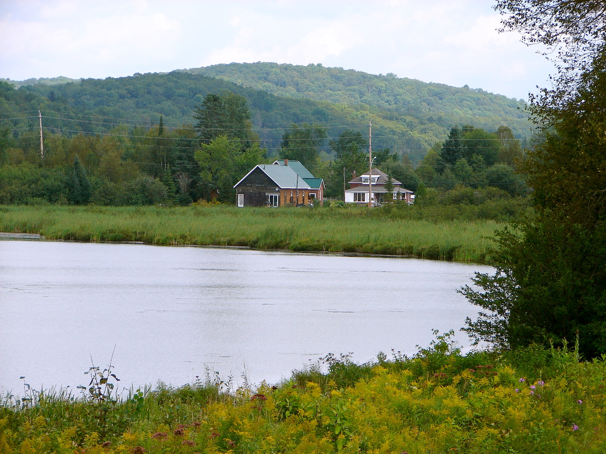 Tory HillHillfort · 950 yd
 Castle (in ruins)Castle, hall-house · 1.2 mi
 Monasteranenagh AbbeyHeritage attraction · 1.4 mi
 Bawn in Rathmore NorthBawn · 1.9 mi
 Biodiversity in the Maigue CatchmentVisitor information · 2.0 mi
 Villiers WellSpring · 2.9 mi
 Dysert AenghusaHeritage attraction · 3.0 mi
 GinkgoGinkgo · 4.6 mi