What is recorded here
Fairy fort in Garrane North is a broken earthen circle where a field boundary cut through the west side, leaving ferns and conifers to fill the gap. The east ridge still slopes downward into the centre, while the west scarp rises a metre above pasture, as if the fort surrendered part of itself to the fence and kept the rest for memory. Bowman saw it in 1934 as practically levelled, but the ground has not stopped shaping itself; it has only stopped answering to human measures.
In pasture. Circular area (25m N-S), cut by NNW-SSE field boundary off-centre to W. On E side of field fence grass-covered interior defined by low rise NNW->S; on W side, interior heavily overgrown with ferns and some coniferous trees, defined by scarp (H 1m). Top of scarp appears to slope down towards centre of interior. Field boundary skirts scarp, forming fosse-like feature in between (Wth 7m). Recorded by Bowman (1934, 334) as single-ramparted fort (diam. 33yd) in P. Pigott's, 'practically levelled'. No visible surface trace of lime kiln depicted against SW side of enclosure on 1842 OS 6-inch map.
The above description is derived from the published 'Archaeological Inventory of County Cork. Volume 4: North Cork' (Dublin: Stationery Office, 2000). In certain instances the entries have been revised and updated in the light of recent research.
Date of upload/revision: 14 January 2009
The monument record does not grant public access. Check the route and ask the landowner before entering private land.
- What survives
- Recorded monument
Places near here
 KilnKiln, lime · 710 yd
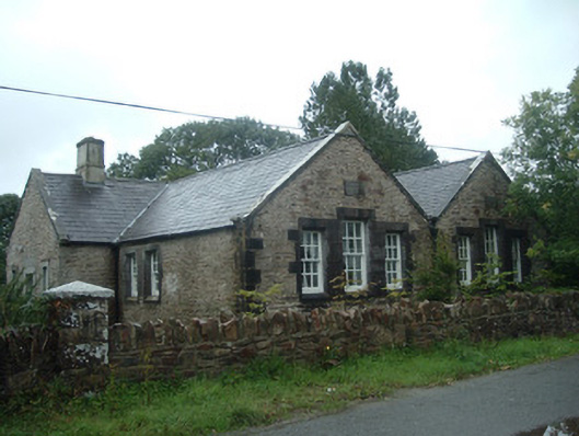 Old School Houseschool · 964 yd
 Man-made underground passage in Island-DahillMan-made underground passage · 1066 yd
 Man-made underground passage in Cloonbannin EastMan-made underground passage · 1568 yd
 Drominagh Castle (Site of)Castle, unclassified · 1.4 mi
 Castle (Site of)Bawn · 2.5 mi
 Rathcool WoodWood · 2.5 mi
 Battle of Knocknaclashybattle · 2.9 mi
 Millstreet Tourist InformationVisitor information · 4.2 mi
 St. Patrick's ChurchVisitor information · 4.2 mi
 Millstreet Museum & Tourist Information CentreMuseum · 4.2 mi
 RowanRowan · 5.0 mi