What is recorded here
In grassland on an E-facing slope of rising ground in upland region overlooking river valley to E. Circular area (approx. int. diam. 26m N-S; 28m E-W) enclosed by an earth and stone bank which has been reduced to a scarp. Monument heavily covered in trees and thorn bushes making detailed examination impossible.
Compiled by: Jean Farrelly
Date of upload: 26 August 2011
The monument record does not grant public access. Check the route and ask the landowner before entering private land.
- What survives
- Recorded monument
Places near here
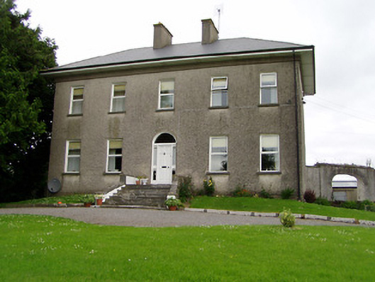 Roan Housecountry house · 509 yd
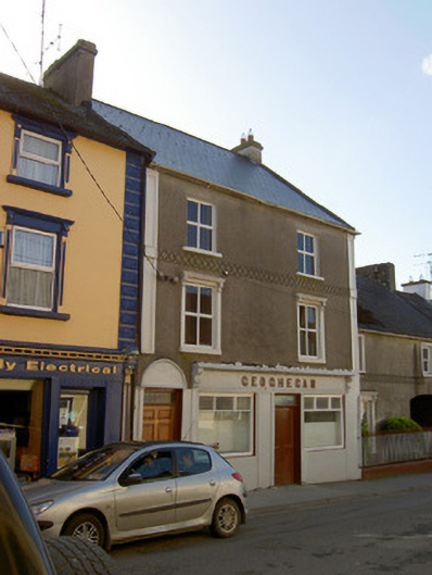 Geogheganhouse · 1219 yd
 Slieveardagh Heritage CentreVisitor information · 1291 yd
 Site of CastleCastle, motte and bailey · 1409 yd
 RathroeFairy fort / earthen ringfort · 1582 yd
 RathmooleyFairy fort / earthen ringfort · 1.1 mi
 Mortlestown Castle RuinCastle · 1.3 mi
 Eagle HillMountain / peak · 1.9 mi
 Waterloo HillMountain / peak · 3.1 mi
 Noan WoodWood · 3.6 mi
 Gobban Saer's GraveArchaeological place · 3.8 mi
 Derrynaflan TrailHeritage attraction · 4.0 mi