What is recorded here
Fairy fort in Garranachole: a 20-metre earthen ring on a sunny slope, with a shallow ditch and a field boundary that still bends around it. People may have lived there, excluded others, or marked the edge of ordinary ownership. The dirt remembers shape even when human tools stop naming it.
In pasture, on gentle S-facing slope. Circular enclosure visible in aerial photograph (GSIAP, R522) as cropmark of fosse with faint trace of internal bank; field boundary at W curves to respect site. Roughly circular area (internal dims. c. 20m E-W; c. 16m N-S) defined by low rise (ext. 0.35m; max. Wth 10m); shallow external fosse (D 0.25m) survives NW->NE and SE->SW. Field boundary at W removed.
The above description is derived from the published 'Archaeological Inventory of County Cork. Volume 4: North Cork' (Dublin: Stationery Office, 2000). In certain instances the entries have been revised and updated in the light of recent research.
Date of upload/revision: 14 January 2009
The monument record does not grant public access. Check the route and ask the landowner before entering private land.
- What survives
- Recorded monument
Places near here
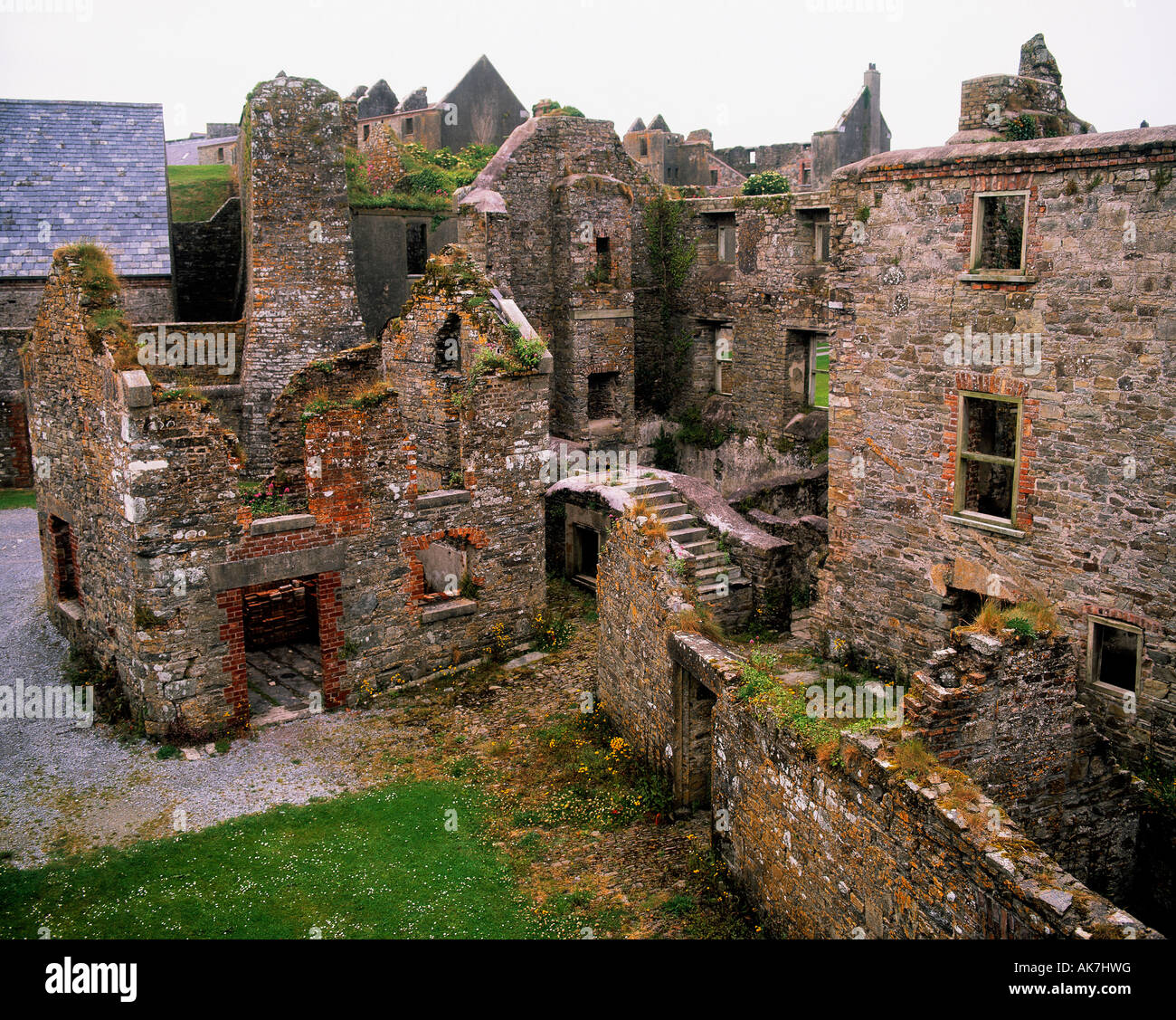 Enclosure in KillissaneEnclosure · 234 yd
 Fulacht fia in KillissaneFulacht fia · 1315 yd
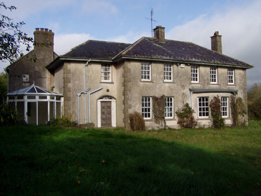 The Glenhouse · 1512 yd
 IndicatedKiln, lime · 1.2 mi
 Monanimy CastleCastle, tower house · 1.4 mi
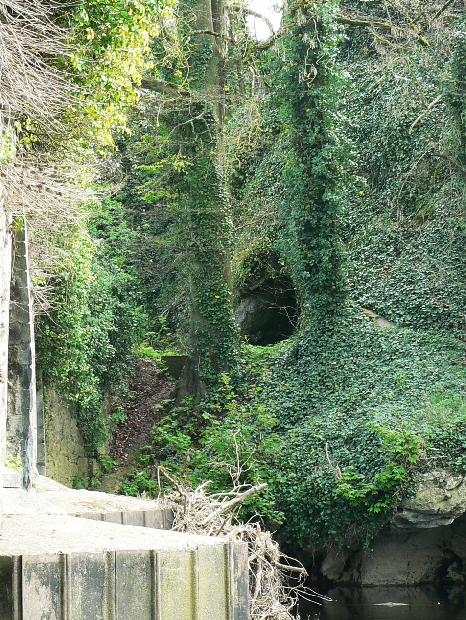 Killavullen CavesCave · 1.6 mi
 Cave in BallymacmoyCave · 1.6 mi
 Killavuleen LOOPVisitor information · 1.9 mi
 Carrig Castle (in Ruins)Castle, tower house · 2.4 mi
 Anne's Grove GardensHeritage attraction · 2.7 mi
 Scots PineScots Pine · 3.7 mi
 Pedunculate OakPedunculate Oak · 3.7 mi