What is recorded here
Thirty-nine metres of grass and shadow stretch across a Galmoystown ridge, marking a human boundary now forgotten. The earth still holds its shape, preserving the exact curve where life once turned inward instead of scattering into the dark. What is remembered as fairy is simply the part humanity stopped understanding.
Situated on a NNE-SSW ridge. This is a subcircular grass-covered area (dims 39m ENE-WSW; 32m NNW-SSE) defined by a slight earth and stone bank (at ENE: Wth of base 5.5m; int. H 0.4m; ext. H 1.6m) NNE-E-SW, reduced to a scarp (at WSW: Wth 3.5m; H 1.3m) elsewhere. There are traces of a fosse (at ENE: Wth of base 1.5m; ext. D 0.5m) N-E. The original entrance (Wth of base 2.1m) is at ESE. There is a relict field bank in the interior and others in the surrounding field.
The above description is derived from the published 'Archaeological Inventory of County Meath' (Dublin: Stationery Office, 1987). In certain instances the entries have been revised and updated in the light of recent research.
Compiled by: Michael Moore
Date of revision: 9 January 2019
The monument record does not grant public access. Check the route and ask the landowner before entering private land.
- What survives
- Recorded monument
Places near here
 Enclosure in KnockloughEnclosure · 811 yd
 The Big DounArchaeological place · 846 yd
 Slieve GullionMountain / peak · 1010 yd
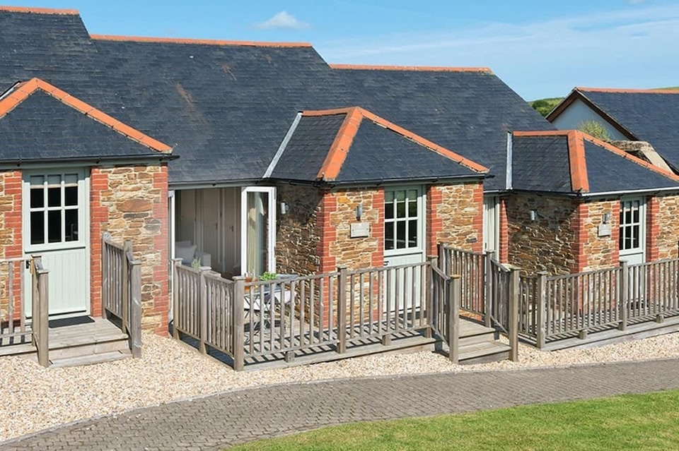 Keeper's CottageRuins · 1052 yd
 The Keeper's FieldForest · 1214 yd
 Church in DiamorChurch · 1613 yd
 Kells HillMountain / peak · 1712 yd
 Bradley's WoodWood · 1.4 mi
 Green CastleCastle, unclassified · 1.7 mi
 Moat of DiamorCastle, motte and bailey · 1.7 mi
 Zip WireHeritage attraction · 2.4 mi
 LoughcrewMegalithic tomb cemetery · 2.7 mi