What is recorded here
Mortals build with angle and edge. Fairy forts arrive already rounded, as if shape itself refused to cut skin. In Galmoystown the land still holds that old boundary, not a wall but a living line between visibility and memory. What humans call mystery, the fairies call ordinary. They simply stopped inviting people inside.
Situated on a rise in a gently undulating landscape. This is a raised and grass-covered oval area (dims 36m N-S; 26m E-W) defined by an earthen bank (Wth of base 6-7m; int. H 0.2-0.3m; ext. H 1.6-2m) SSE-W-NNW, with a slight berm (at WSW: Wth 3.4m) at its base WSW-NNW. It is truncated by a NW-SE field bank at NE, and the centre is crossed by the remnant of a relict E-W field bank, confined now to the interior of the monument. The original entrance is not identified.
The above description is derived from the published 'Archaeological Inventory of County Meath' (Dublin: Stationery Office, 1987). In certain instances the entries have been revised and updated in the light of recent research.
Compiled by: Michael Moore
Date of revision: 9 January 2019
The monument record does not grant public access. Check the route and ask the landowner before entering private land.
- What survives
- Recorded monument
Places near here
 Enclosure in KnockloughEnclosure · 459 yd
 Slieve GullionMountain / peak · 658 yd
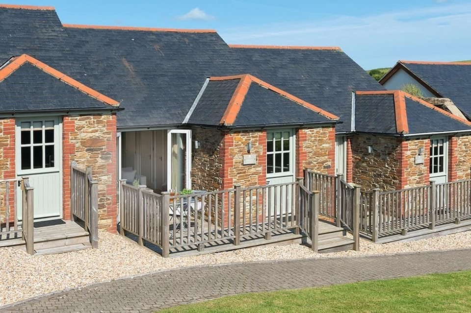 Keeper's CottageRuins · 1340 yd
 The Big DounArchaeological place · 1422 yd
 The Keeper's FieldForest · 1528 yd
 Kells HillMountain / peak · 1629 yd
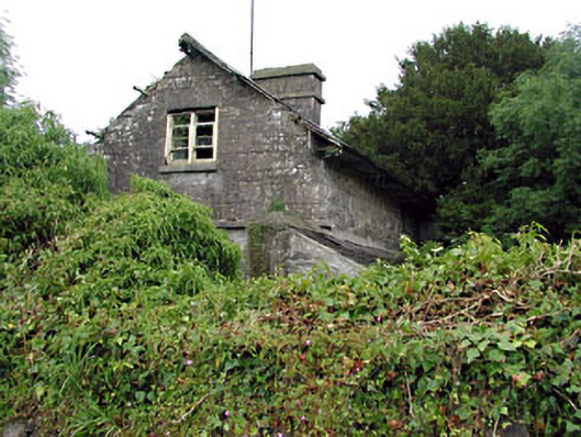 Loughcrew Housegate lodge · 1758 yd
 Green CastleCastle, unclassified · 1.4 mi
 Bradley's WoodWood · 1.5 mi
 Moat of DiamorCastle, motte and bailey · 2.0 mi
 Zip WireHeritage attraction · 2.4 mi
 LoughcrewMegalithic tomb cemetery · 2.8 mi