What is recorded here
Fairy fort in Galmoystown is an oval grass ring, thirty-eight metres long, defined by a broken earthen bank and a shallow fosse on a low rise in County Meath. It may have been a rath, a boundary, a ritual margin or a childhood game, but its shape still separates inside from outside. The land has worn it smooth, which makes the original intent harder to dismiss.
Situated on a rise in a low-lying undulating landscape. This is an oval grass-covered area with some visible rock outcrop (dims 38m NE-SW; 30m NW-SE) defined by an earthen bank (Wth of base 7-10m; int. H 0.4m; ext. H 2) S-WNW and at NE but the perimeter is largely reduced to a scarp (at SE: Wth 4m; H 1.2m; at N: H 1.7m). There is a slight fosse (Wth of top 5.5m; ext. D 0.2m) SW-NW, and the original entrance may have been a ramp (Wth of base 2.7m) at NE.
The above description is derived from the published 'Archaeological Inventory of County Meath' (Dublin: Stationery Office, 1987). In certain instances the entries have been revised and updated in the light of recent research.
Compiled by: Michael Moore
Date of revision: 10 January 2019
The monument record does not grant public access. Check the route and ask the landowner before entering private land.
- What survives
- Recorded monument
Places near here
 Enclosure in KnockloughEnclosure · 825 yd
 The Big DounArchaeological place · 918 yd
 Slieve GullionMountain / peak · 962 yd
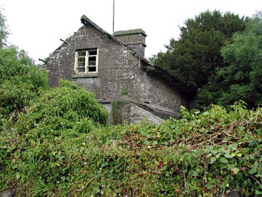 Loughcrew Housegate lodge · 1257 yd
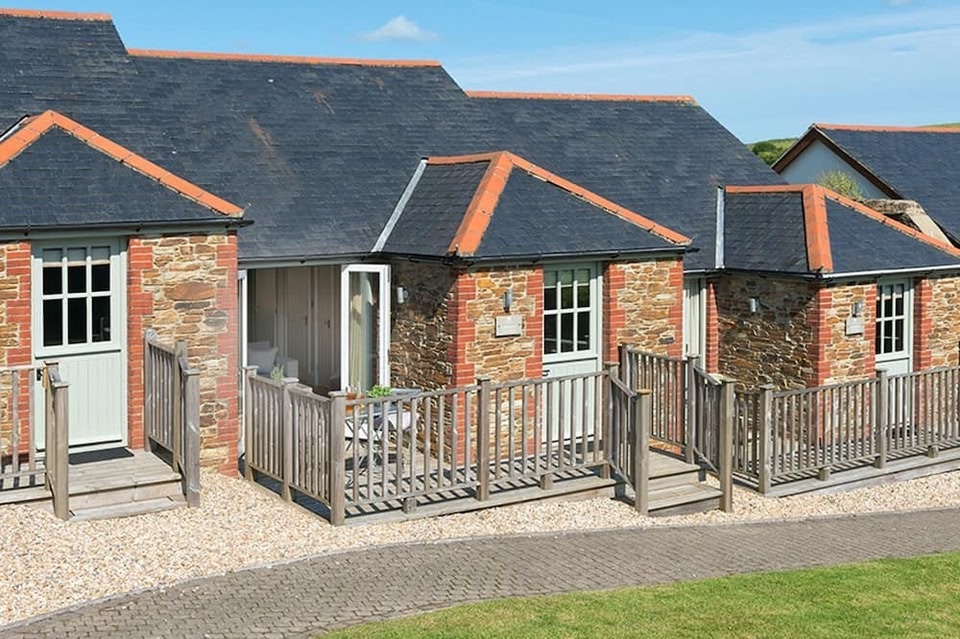 Keeper's CottageRuins · 1464 yd
 The Keeper's FieldForest · 1605 yd
 Kells HillMountain / peak · 1.2 mi
 Green CastleCastle, unclassified · 1.6 mi
 Bradley's WoodWood · 1.6 mi
 Moat of DiamorCastle, motte and bailey · 1.6 mi
 Zip WireHeritage attraction · 2.2 mi
 Church in DiamorChurch · 1653 yd