What is recorded here
Enclosure described in 1942-3 as following; 'It is only just possible to trace this fort now. It has been levelled flat. Quite recently a Land Commission fence was built across the site. The monument seems to have had no fosse. Its overall diameter was 105' [32m]' (O'Kelly 1942-3, 228). Outline of circular-shaped field with farm buildings to N visible today on Digital Globe aerial photographs.
Compiled by: Caimin O'Brien
Date of upload: 2 March 2020
The monument record does not grant public access. Check the route and ask the landowner before entering private land.
- What survives
- Recorded monument
Places near here
 Enclosure in Friarstown (clanwilliam By., Roxborough Ed)Enclosure · 597 yd
 Cloghane Bridgebridge · 650 yd
 Church (in ruins)Church · 826 yd
 Partially indicatedBawn · 880 yd
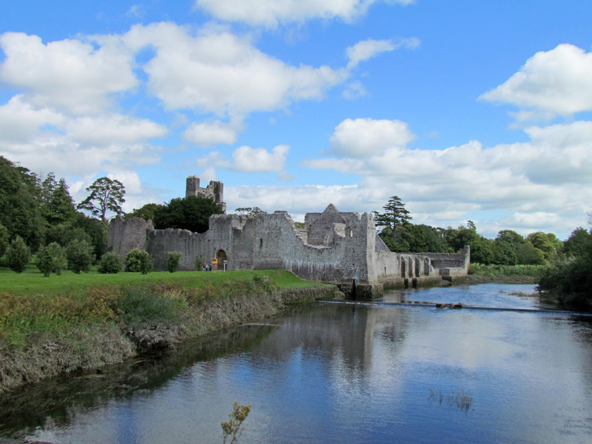 Man-made underground passage in Friarstown (clanwilliam By., Roxborough Ed)Man-made underground passage · 996 yd
 CastleCastle, ringwork · 1005 yd
 Carnane RockNamed rock · 1.3 mi
 ToberauillinSpring · 1.4 mi
 Villiers WellSpring · 1.7 mi
 European ashEuropean ash · 4.3 mi
 Monasteranenagh AbbeyHeritage attraction · 5.4 mi
 Coonagh NatureNature reserve · 6.2 mi