What is recorded here
Fairy fort in Fremagh, County Monaghan: a circular grass-covered area at the tip of a SE-NW spur, with a scarp, hedge, faint bank, outer fosse and stone wall. Its entrance has not been identified, so the fort keeps that much to itself. People may have lived, hidden or marked territory there before the name changed; the measured circle still refuses to explain itself.
Located at the tip of a SE-NW spur. This is a circular grass-covered area (diam. 50m NW-SE; 48.5m NE-SW) defined by a scarp (at SW: Wth 2.1m; H 1.3m; At E: Wth 1.8m; H 1.45m) and hedge with traces of a bank (Wth of base 2.4m; int. H 0.1m) at E. There is an outer fosse (at E: Wth 2.7m; D 0.1m) which is surrounded by a stone wall that rises to the top of the scarp at W. The original entrance is not identified.
The above description is derived from the published 'Archaeological Inventory of County Monaghan' (Dublin: Stationery Office, 1986). In certain instances the entries have been revised and updated in the light of recent research.
Revised by: Michael Moore
Date of revision: 8 May 2018
The monument record does not grant public access. Check the route and ask the landowner before entering private land.
- What survives
- Recorded monument
Places near here
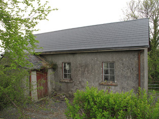 Ture National Schoolschool · 621 yd
 Saint Mary's Catholic Churchchurch/chapel · 645 yd
 IndicatedCrannog · 927 yd
 European YewEuropean Yew · 936 yd
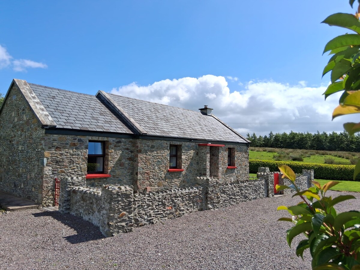 KilderryBurial ground · 1075 yd
 Mullaghmore WoodWood · 1616 yd
 Ulster Canal Stores Visitor CentreHeritage attraction · 2.0 mi
 Abbey RuinsHeritage attraction · 2.0 mi
 Saint John's WellSpring · 2.5 mi
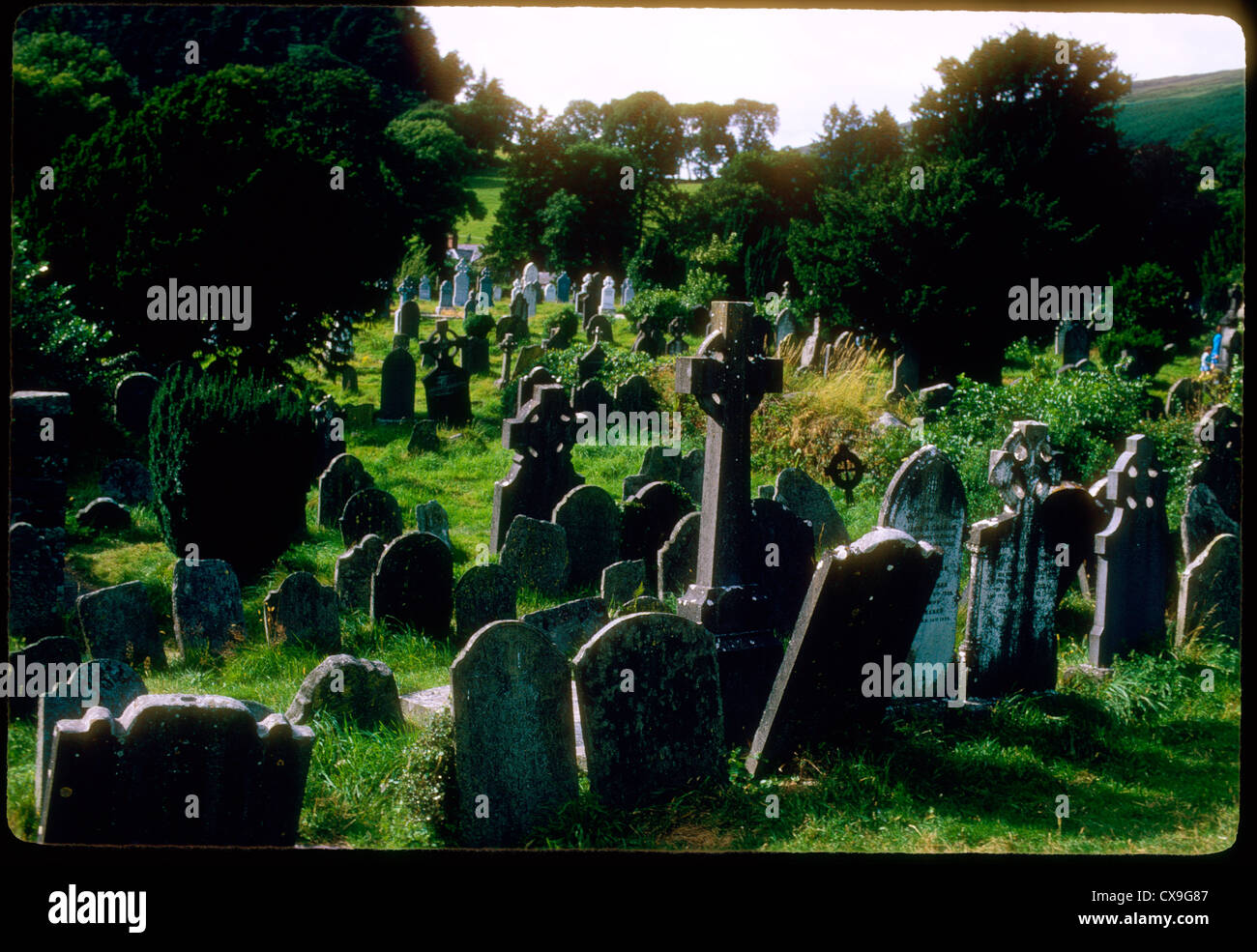 Clontivrin Grave YardArchaeological place · 2.5 mi
 LattacrossanMountain / peak · 3.1 mi
 SandhillsMountain / peak · 3.2 mi