What is recorded here
Franckfort’s fairy fort stands on high upland ground, a thirty-five-metre dished circle enclosed by a three-metre earthen bank and a partially buried four-metre fosse. Its south-east entrance is destroyed, yet the surviving ridge still separates the interior from the surrounding land. The missing north-east ditch and broken entrance suggest later ploughing or building, but the central depression remains clear enough to show that people shaped this place deliberately.
Situated on high ground in upland area. Raised dished interior (diam 35m E-W) enclosed by an earthen bank (Wth 3m; ext. H 0.9m max.) and external fosse (Wth 4m) which is only visible at S elsewhere it is filled in. Destroyed entrance feature at SE.
The above description is derived from the published 'Archaeological Inventory of County Offaly' (Dublin: Stationery Office, 1997). In certain instances the entries have been revised and updated in the light of recent research.
Date of upload: 23 May 2011
The monument record does not grant public access. Check the route and ask the landowner before entering private land.
- What survives
- Recorded monument
Places near here
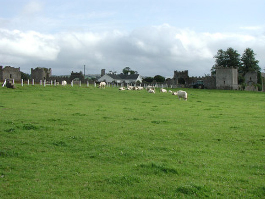 Franckfort Castlecountry house · 530 yd
 Field system in FranckfortField system · 912 yd
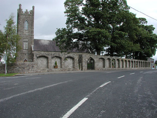 Dunkerrin Churchchurch/chapel · 952 yd
 Grave YardGraveyard · 955 yd
 CastleCastle, motte · 1075 yd
 IndicatedCastle, unclassified · 1.1 mi
 Coolock WoodForest · 3.3 mi
 White MulberryWhite Mulberry · 3.4 mi
 BenduffMountain / peak · 4.1 mi
 Eagle HillMountain / peak · 4.9 mi
 Roscrea Petty Sessions HouseHeritage attraction · 5.1 mi
 Thomas MacDonagh Heritage CentreMuseum · 5.8 mi