What is recorded here
Situated on top of a low natural hillock with extensive views. The site conists of a raised circular platform (diam. 34m N-S; H 1m) enclosed by two earth and stone banks with intervening fosse (Wth 1.5-2.5m: D 1m) and a possible entrance gap at NW. The inner bank (Wth 1.5m; int. H 0.3m; ext. H 1.5m) is the best preserved while the outer bank (Wth 0.8m; ext. H 0.5m) is destroyed at NW by a laneway to farmyard buildings which are located immediately to the NW of the site.
The above description is derived from 'The Archaeological Inventory of County Tipperary. Vol. 1 - North Tipperary' compiled by Jean Farrelly and Caimin O'Brien (Dublin: Stationery Office, 2002). In certain instances the entries have been revised and updated in the light of recent research.
Date of upload/revision: 22 September 2008
The monument record does not grant public access. Check the route and ask the landowner before entering private land.
- What survives
- Recorded monument
Places near here
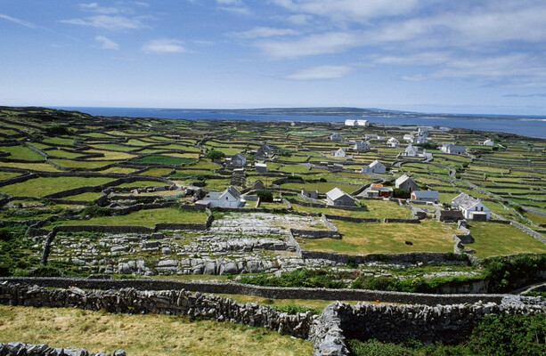 Fulacht fia in FortmoyFulacht fia · 316 yd
 Enclosure in BallyhaughEnclosure · 640 yd
 Fortmoy Housemill (water) · 850 yd
 Ballyhaugh Castle (in ruins)Castle, tower house · 1358 yd
 Church (in Ruins), Grave YdChurch · 1453 yd
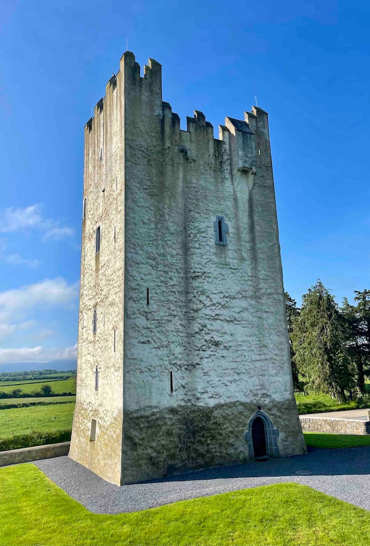 Kilfadda Castle (in ruins)Castle, Anglo-Norman masonry castle · 1637 yd
 Borris WoodWood · 2.9 mi
 Slevoir BayBay · 3.6 mi
 Hayes IslandIsland · 4.7 mi
 Lumcloon WoodWood · 4.8 mi
 Roger's IslandIslet · 4.9 mi
 Portumna Castlegate lodge · 5.6 mi