What is recorded here
In pasture, located on the SE-facing slope of a rise, with extensive views NW–N, in an area of undulating grassland. Ground falls away gradually to N towards a natural depression of rush-grown ground, now cut by a drain.
An oval area (c. 40m N-S; c. 35m E–W), which is not noticeably raised, but incorporates a natural rise at NW–N. It is enclosed at N–SE by an earthen bank (Wth 1.6m; int. H 0.3m; ext. H 0.3m), which is built up at NE to compensate for a natural slope, but is low and degraded at E–SE. It is levelled at SSE–SW to a faint undulation. At SW–NNW the bank (Wth c. 3m; int. H 1.1m; ext. H 1.35m) is modified to serve as a field fence.
The interior slopes from W–NW down to E–S. A low area (Wth c. 2m) at ENE−E where the bank is reduced to a scarp may indicate the location of the original entrance. Two field fences, one on a NW–SE axis and the other on a NE–SW axis, cross the S half of the interior, intersecting in the centre of the interior. Remnants of another field fence (Wth 1.2m; H 0.35m) cross the W edge of the interior on a NNE–SSW axis.
Interior grassy; overgrowth on bank/field fence at W.
Compiled by: Jane O’Shaughnessy
Date of upload: 17 June 2022
The monument record does not grant public access. Check the route and ask the landowner before entering private land.
- What survives
- Recorded monument
Places near here
 IndicatedEnclosure · 258 yd
 Enclosure in KilmanninEnclosure · 1.4 mi
 handball alleyhandball alley · 1.5 mi
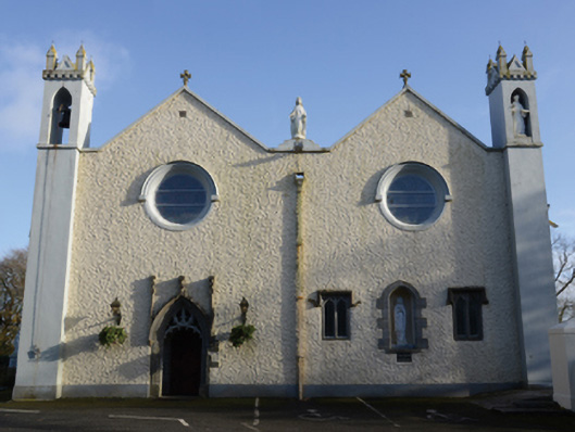 Saint Mary's Catholic Churchchurch/chapel · 1.9 mi
 CastleCastle, unclassified · 4.1 mi
 Rath Castle in ruinsCastle, tower house · 5.0 mi
 East Mayo Brigade MonumentMemorial · 6.9 mi
 Knock MuseumMuseum · 7.2 mi
 Knock ShrineHeritage attraction · 7.2 mi
 Oak WoodForest · 12 mi
 Thorn CaveCave · 12 mi
 Site of Killomaine Grave YardArchaeological place · 15 mi