What is recorded here
Fairy fort in Forgney, County Longford: a shallow oval ring, 27.5m by 18m, with a low earth-and-stone bank and a possible north-west entrance, marked “Fort” on the 1837 Ordnance Survey map. It sits on a rise in pasture, more suggestion than stronghold, the kind of place where people may have kept kids, goats, fire or fear at a distance. The fairies, in the local naming, keep what the bank no longer holds back.
On a rise within a slight hollow in pasture. Depicted as a circular enclosure with the designation 'Fort' on the 1837 ed. of the OS 6-inch map. A raised oval area (27.5m E-W; 18m N-S) enclosed by a much-denuded, very low bank of earth and stone (Wth 2.2-2.4m; H 0.1-0.2m). There is no trace of a fosse. A break (Wth 1m) in bank at NW may mark the original entrance.
Compiled by: Patrick F. O'Donovan
Date of upload: 26 August 2011
This remains an important historical record, but the official description says the monument is no longer visible or has been destroyed. The monument record does not grant public access. Check the route and ask the landowner before entering private land.
- What survives
- No visible remains or recorded as destroyed
Places near here
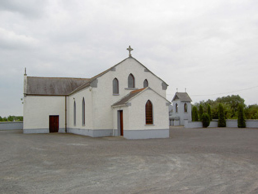 Catholic Church of the Immaculate Conceptionchurch/chapel · 497 yd
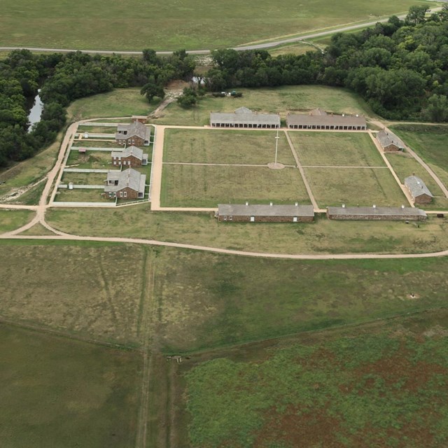 FortsFairy fort / earthen ringfort · 689 yd
 Forgney Church (in Ruins)Church · 859 yd
 Grave YardGraveyard · 864 yd
 Craft WorkshopHeritage attraction · 1.1 mi
 Guest ServicesVisitor information · 1.1 mi
 Sessile OakSessile Oak · 1.6 mi
 Goldsmith Birthplace, PallasVisitor information · 1.7 mi
 Target WoodWood · 1.9 mi
 Newcastle WoodsForest · 2.1 mi
 Ballymulvey Ho.Castle, unclassified · 2.6 mi
 Noughaval CemeteryArchaeological place · 3.9 mi