What is recorded here
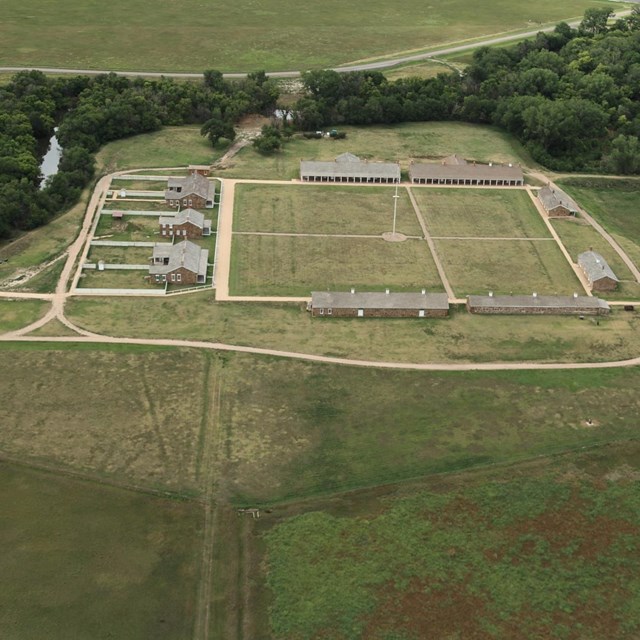
On a terrace on a NE-facing slope in pasture. A slightly raised oval area (42.5m E-W; 39m N-S) defined by a scarp (H 1.3-1.6m) with traces of an external fosse (Wth 1.3m; D 0.2m). A report in 1976 (SMR file) recorded an outer bank of earth and stone and suggested that the original entrance may have been at NE. This bank is no longer identifiable. A modern-looking entrance is evident at SW. Another ringfort (LF027-024----) lies c. 100m to the E. (CUCAP, AOY062)
Compiled by: Patrick F. O'Donovan
Date of upload: 11 January 2012
The monument record does not grant public access. Check the route and ask the landowner before entering private land.
- What survives
- Recorded monument
Places near here
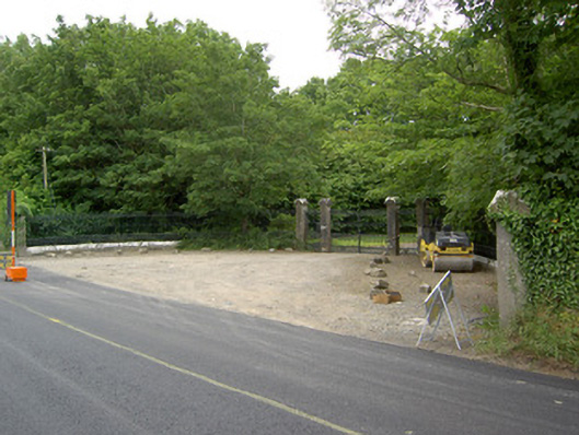 Newcastlegates/railings/walls · 361 yd
 Saint Munis's Church (Forgney)church/chapel · 445 yd
 St. Patricks WellHoly well · 714 yd
 Grave YardGraveyard · 739 yd
 Craft WorkshopHeritage attraction · 1402 yd
 Guest ServicesVisitor information · 1413 yd
 Goldsmith Birthplace, PallasVisitor information · 1.5 mi
 Target WoodWood · 1.5 mi
 Newcastle WoodsForest · 1.8 mi
 Sessile OakSessile Oak · 2.0 mi
 Ballymulvey Ho.Castle, unclassified · 2.2 mi
 Noughaval CemeteryArchaeological place · 3.6 mi
Other information
Photo: Credit not shown in the picture search · Rights wording not checked; contact us if this picture should be removed