What is recorded here
Forenaght holds a circular earthen ringfort thirty-two metres across, its low bank broken by a northern gap and possibly a southern entrance. Pasture grass smothers the rampart, but a hidden underground passage may still cut through the interior. The shape suggests human hands built a defensible home or marker on the sloping ground, yet local tradition calls it a fairy fort. That contradiction is not an error; it is the place speaking through human memory and older imagination at once.
In pasture, on break in SSE-facing slope. Circular raised area (32m N-S; 35m E-W) enclosed by low earthen bank (H 1.4m). Bank heavily overgrown; gap to N (Wth 4m); possible entrance to SSE (Wth 4m). Possible Man-made underground passage (CO142-107---) in interior.
The above description is derived from the published 'Archaeological Inventory of County Cork. Volume 1: West Cork' (Dublin: Stationery Office, 1992). In certain instances the entries have been revised and updated in the light of recent research.
Date of upload/revision: 14 January 2009
The monument record does not grant public access. Check the route and ask the landowner before entering private land.
- What survives
- Recorded monument
Places near here
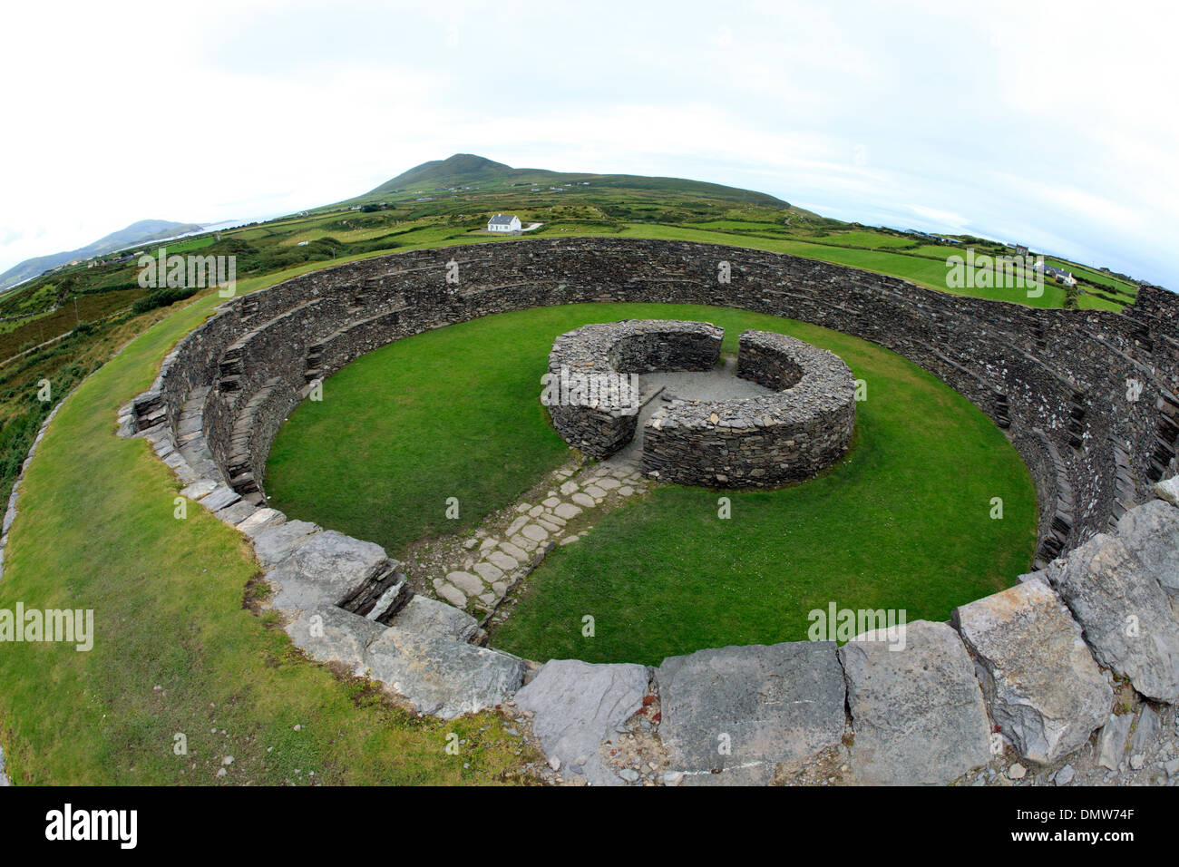 Ring Fort / LiosArchaeological place · 9 yd
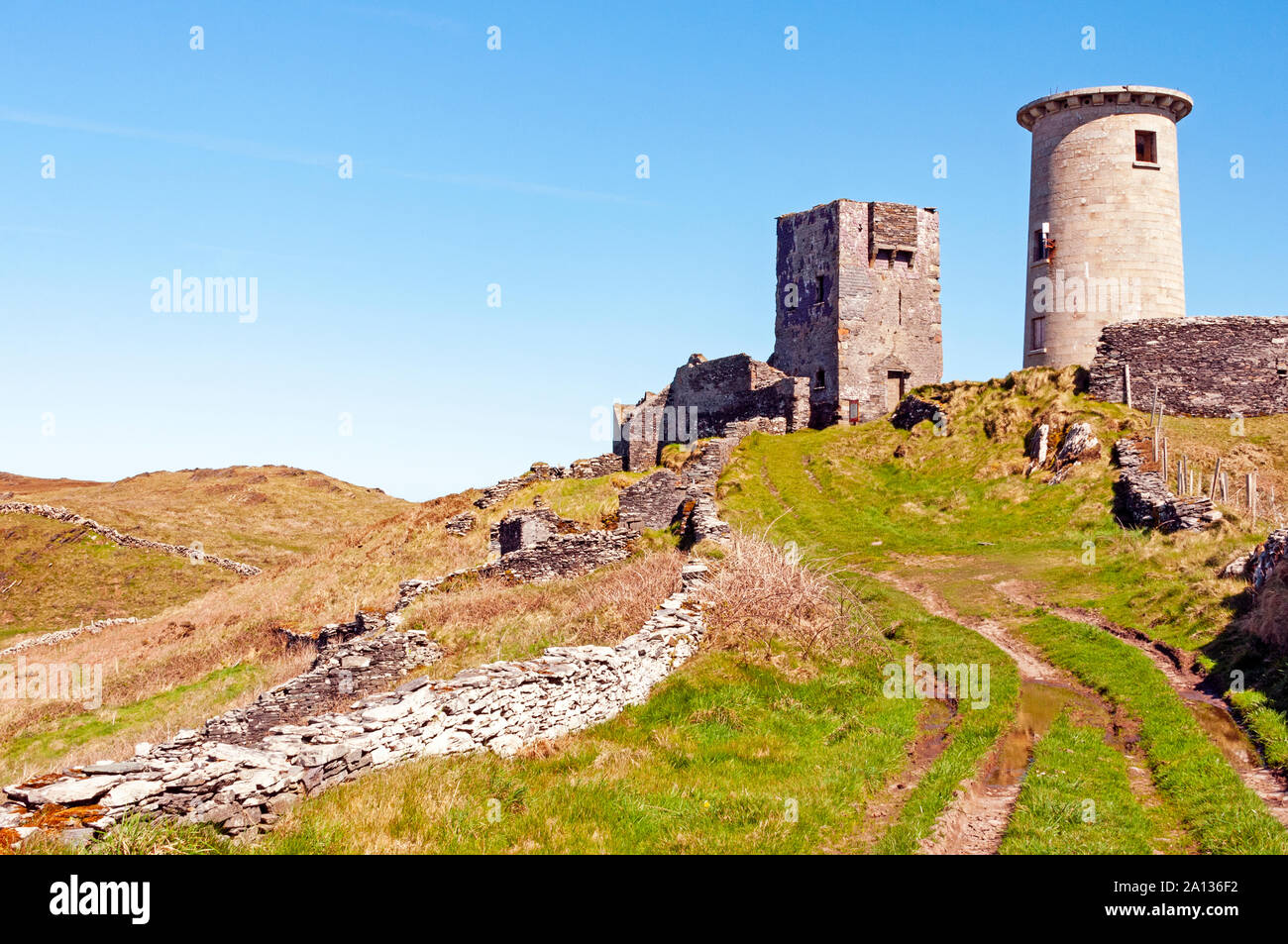 LookoutMountain / peak · 601 yd
 Nancy's HillMountain / peak · 727 yd
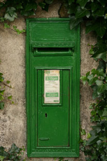 post boxpost box · 741 yd
 Woodvalehouse · 762 yd
 Childrens Burial Gd (Disused)Burial ground · 788 yd
 Cuaisín a' TarbhBay · 964 yd
 Oileáin CraobhachIslet · 1150 yd
 Rineen Forest Recreation AreaWood · 1554 yd
 Leaca RiabhachWood · 1.1 mi
 Rodger's IslandIslet · 1.1 mi
 CarraigínBeach / strand · 1.4 mi