What is recorded here
Located on the level ground of a river valley with the Aughraria River to the S and the Bilboa River to the N. The site was identified on an aerial photograph (GSIAP, R 362/361). A large roughly circular enclosure (diam. c. 63m N-S; 55m E-W) consisting of a raised interior surrounded by a wide fosse (Wth 4.5-6m) which is evident as lush grass growth. A field boundary which transected the W sector has been removed as have field boundaries to the N. The field has been reclaimed and the site has been levelled. A deep drainage ditch skirts the S limit of the site making the edge difficult to define.
The above description is derived from 'The Archaeological Inventory of County Tipperary. Vol. 1 - North Tipperary' compiled by Jean Farrelly and Caimin O'Brien (Dublin: Stationery Office, 2002). In certain instances the entries have been revised and updated in the light of recent research.
Date of upload/revision: 22 September 2008
This remains an important historical record, but the official description says the monument is no longer visible or has been destroyed. The monument record does not grant public access. Check the route and ask the landowner before entering private land.
- What survives
- No visible remains or recorded as destroyed
Places near here
 Anglesey Bridgebridge · 281 yd
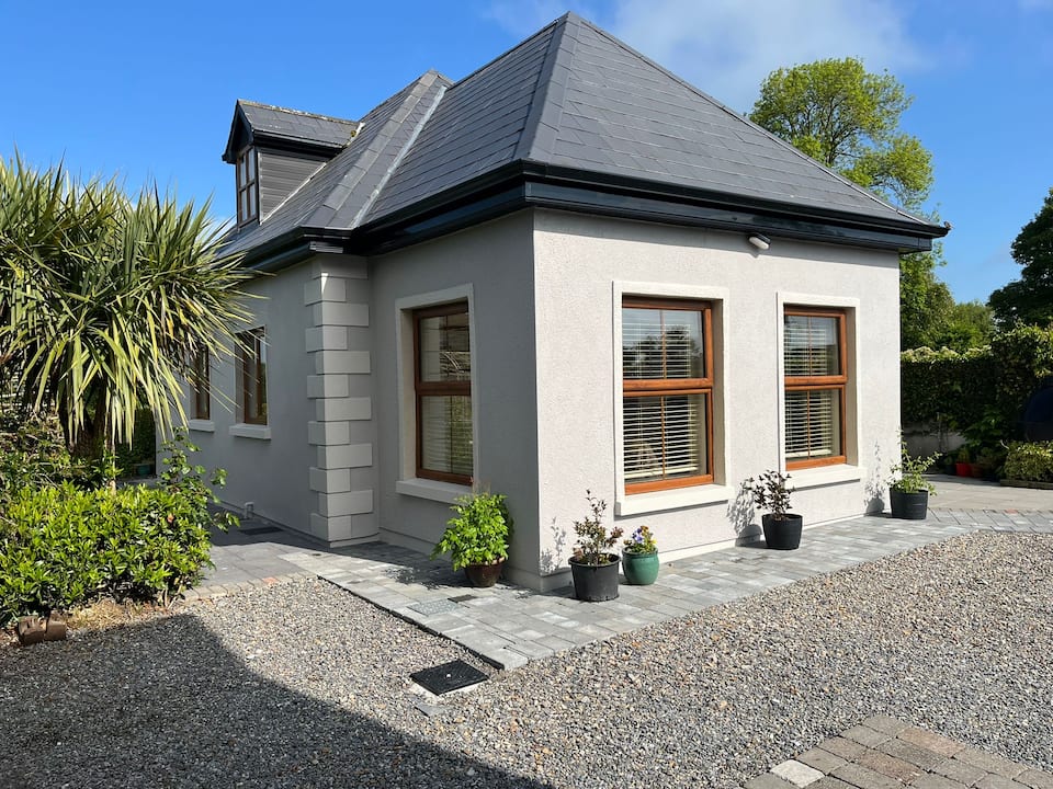 Enclosure in Kilcommon (templebeg Par.)Enclosure · 834 yd
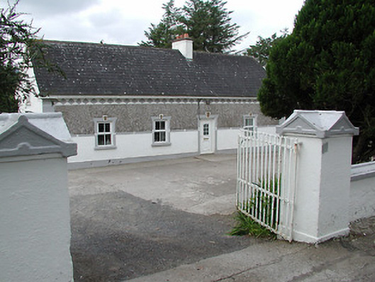 farm housefarm house · 1121 yd
 Enclosure in CoonmoreEnclosure · 1.3 mi
 KnocknabanshaMountain / peak · 1.9 mi
 TooreenMountain / peak · 2.0 mi
 Site of CastleCastle, unclassified · 6.1 mi
 Site of Cloghonan CastleCastle, unclassified · 7.6 mi
 Killavalla WoodForest · 9.0 mi
 Sliev Felim WayVisitor information · 10.0 mi
 ToberagaddySpring · 10 mi
 The Pollagh TrailNature reserve · 13 mi