What is recorded here
Firmount held a twenty-five-metre earthen ring on a south-facing slope, visible on maps from 1842 until fence clearance destroyed it around 1979. The land still keeps shallow undulations where the fort stood, inviting wonder about the people who shaped that circle before machines erased it.
Shown as hachured circular enclosure (diam. c. 25m) on 1842, 1904 and 1939 OS 6-inch maps. In pasture, on S-facing slope. According to local information, levelled c. 1979 during field fence clearance. Some undulations visible in area of site.
The above description is derived from the published 'Archaeological Inventory of County Cork. Volume 3: Mid Cork' (Dublin: Stationery Office, 1997). In certain instances the entries have been revised and updated in the light of recent research.
Date of upload/revision: 14 January 2009
The monument record does not grant public access. Check the route and ask the landowner before entering private land.
- What survives
- Recorded monument
Places near here
 Firmount Bridgebridge · 347 yd
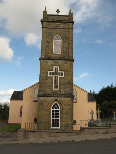 St Joesph's Roman Catholic Churchchurch/chapel · 572 yd
 Fulacht FiadhFulacht fia · 1424 yd
 Ballyvodane Castle (in Ruins)Castle, unclassified · 1.1 mi
 Lackabane LiosFairy fort / earthen ringfort · 1.2 mi
 New TipperaryVisitor information · 1.6 mi
 Saint Bartholomew's WellSpring · 3.5 mi
 Lyradane MountainMountain / peak · 3.5 mi
 Oldcastle WoodWood · 4.4 mi
 Rock HillMountain / peak · 4.4 mi
 Ballyanly Inniscarra Slí na SláinteWalking route · 4.4 mi
 Castle (Site of)Castle, Anglo-Norman masonry castle · 4.6 mi