What is recorded here
Fairy fort in Finnor More, County Clare: a grass-covered ring, 23m by 20m, bounded by an earthen bank and shallow outer ditch, with no visible entrance. It sits on a north-facing slope like a room built for rain and wind, not display. Perhaps people lived there, loved there, or avoided it; the shape still holds that much of the world.
At the N edge of shelf on a N-facing slope. Listed as 'Enclosure' in the SMR (1992) and the RMP (1996). A subcircular grass-covered area (int. dims. 23m E-W; 20m N-S) defined by an earthen bank (Wth 3-5m; int. H 0.5-0.8m; ext. H 0.8m at E to 1.6m at W), and an outer fosse (Wth of base 2.4-3.4m; max. D 0.3m) NW-SE. There is no identifiable entrance.
Compiled by: Michael Moore
Date of upload: 28 April 2020
The monument record does not grant public access. Check the route and ask the landowner before entering private land.
- What survives
- Recorded monument
Places near here
 IndicatedEcclesiastical enclosure · 262 yd
 Finnor Castle (Site of)Castle, unclassified · 488 yd
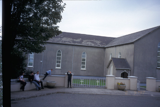 Saint Mary's Roman Catholic Churchchurch/chapel · 624 yd
 LisnacloonaghFairy fort / earthen ringfort · 1.4 mi
 Kilmurry Church (in ruins)Church · 1.4 mi
 Tromra CastleCastle, tower house · 2.1 mi
 Emlagh PointHeadland · 2.2 mi
 Seafield North BeachBeach / strand · 2.7 mi
 Spanish Point BeachBeach / strand · 2.8 mi
 Lurga PointHeadland · 3.0 mi
 Spanish PointHeadland · 3.7 mi
 Mutton IslandIsland · 4.3 mi