What is recorded here
Fairy fort in Ferskill,tonywardan is a low earthen ring on a gentle south-facing slope in County Longford, Ireland. Its oval measure is about 42 metres east-west and 34 metres north-south, enclosed by a bank 3.1 metres wide and only 0.1 metre high. A 3.2-metre break at the southeast may have been the entrance, while scrub now chokes the inside and hides much of its shape.
On a gentle S-facing slope in rolling pasture. A raised oval area (c. 42m E-W; c. 34m N-S) enclosed by a low bank of earth and stone (Wth 3.1m; H 0.1m). A report in 1975 (SMR file) recorded an intervening fosse and an outer bank but the latter appears to be a later field boundary. A break (Wth 3.2m) in the bank at SE may mark the original entrance. The internal ground level slopes appreciably from N to S. It is densely overgrown with scrub rendering satisfactory inspection.
Compiled by: Patrick F. O'Donovan
Date of upload: 11 January 2011
The monument record does not grant public access. Check the route and ask the landowner before entering private land.
- What survives
- Recorded monument
Places near here
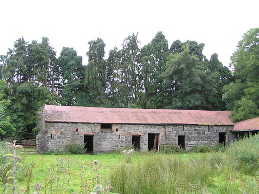 Moorhill Housefarmyard complex · 528 yd
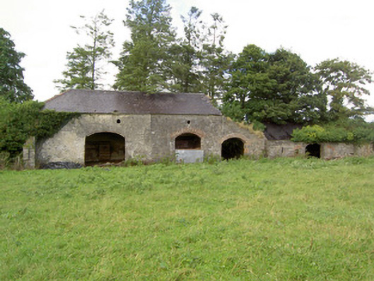 Mossvaleoutbuilding · 872 yd
 Site of Castle NugentCastle, unclassified · 1243 yd
 Enclosure in DrummanEnclosure · 1301 yd
 LisnagreeFairy fort / earthen ringfort · 1.0 mi
 Moat of GranardCastle, motte and bailey · 2.0 mi
 Granard MotteMotte-and-bailey castle remains · 2.0 mi
 1798 Monumentmonument · 2.1 mi
 Clonfin Ambush MemorialMemorial · 3.0 mi
 Cloonfin WoodForest · 3.9 mi
 CartronfreeMountain / peak · 5.1 mi
 Edgeworthstown BypassMemorial · 5.4 mi