What is recorded here
No stone wall or earth ridge remains in Ferm, only a flat field above a north-west slope where people still imagine an underground passage. The land may have held an eight-acre fort until ploughs erased it around 1875, yet the name Pairc an Leasa keeps the shape alive in local speech. What disappeared under the soil did not stop being remembered; it simply stopped being seen.
In level pasture, above NW-facing slope. Field known as fort field; also local tradition of Man-made underground passage (9024). No visible surface trace. Possibly same fort as recorded by Broker (1937, 48) on Tim Connell's land, described as 'one eight acre, levelled completely about 1875. Field still called Pairc an Leasa'.
The above description is derived from the published 'Archaeological Inventory of County Cork. Volume 3: Mid Cork' (Dublin: Stationery Office, 1997). In certain instances the entries have been revised and updated in the light of recent research.
Date of upload/revision: 14 January 2009
The monument record does not grant public access. Check the route and ask the landowner before entering private land.
- What survives
- Recorded monument
Places near here
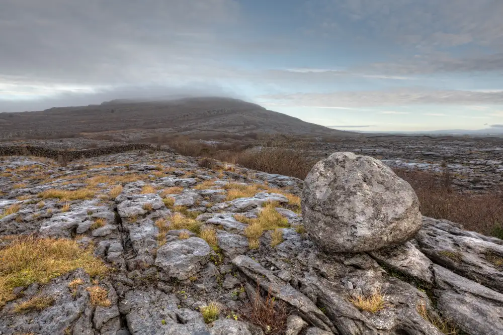 Boulder-burial in Derreen (muskerry West By., Drishane Par.)Boulder-burial · 728 yd
 Church of Our Lady of Lourdeschurch/chapel · 794 yd
 Man-made underground passage (Site of)Man-made underground passage · 926 yd
 IndicatedKiln, lime · 1117 yd
 Claragh MountainMountain / peak · 1.6 mi
 Wildlife of the UplandsVisitor information · 2.1 mi
 Birds of DuhallowVisitor information · 2.2 mi
 CurracahillMountain / peak · 2.3 mi
 Millstreet Museum & Tourist Information CentreMuseum · 2.3 mi
 RowanRowan · 2.6 mi
 Dromsicane Castle (in Ruins)Bawn · 2.7 mi
 Kilmeedy CastleCastle, tower house · 2.8 mi