What is recorded here
Feraghfad holds a thirty-six metre earthen ring where human hands first shaped the level pasture. Its low bank and shallow fosse still trace a circular boundary, though farm walls have since swallowed part of the original form. The fairies may have taken the place after people stopped claiming it, but the measured break and remaining ridge suggest a human gate, a household or a marker long before fantasy gave it a name.
In level pasture. A raised circular area (diam. 36.2m) enclosed by a low bank of earth and stone (Wth 4.2m; H 0.1-0.4m) with a wide, shallow, external fosse (Wth 4.4m; D 0.2m). From SW-W-NNE the outer face of the bank and the fosse have been modified and incorporated into a field boundary. From NNE-NE-ENE the fosse has been infilled but its outline is still identifiable. A break (Wth 4.6m) in the bank at ENE marks the original entrance.
Compiled by: Patrick F. O'Donovan
Date of upload: 26 August 2011
The monument record does not grant public access. Check the route and ask the landowner before entering private land.
- What survives
- Recorded monument
Places near here
 Holy well in FeraghfadHoly well · 1064 yd
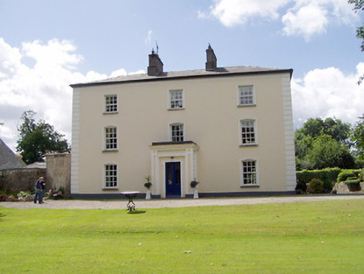 Viewmount Househouse · 1181 yd
 BarrowBarrow, unclassified · 1358 yd
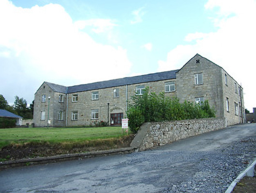 Longford Regional Hospitalhospital/infirmary · 1.0 mi
 Saint Mel's CathedralCathedral · 1.5 mi
 First World War MemorialMemorial · 1.5 mi
 Bawn in AbbeycartronBawn · 1.9 mi
 CastleCastle, Anglo-Norman masonry castle · 2.1 mi
 Graveyard in Curry (ardagh By., Coolamber Ed)Graveyard · 2.7 mi
 Commons North WalkVisitor information · 9.5 mi
 Wild birdsVisitor information · 9.7 mi
 White Sand WoodWood · 9.9 mi