What is recorded here
Situated just off the summit of a small hill on the S-facing side. This is depicted as a small enclosure (diam. c. 20m) described as a 'fort' in gothic lettering on the 1834 edition of the OS 6-inch map and as a slight kink in a field bank at NW on the 1907 edition. A slight grass-covered scarp (max. H 1m) with traces of an external fosse survives E-S.
The above description is derived from the published 'Archaeological Inventory of County Monaghan' (Dublin: Stationery Office, 1986). In certain instances the entries have been revised and updated in the light of recent research.
Date of revision: 29 August 2017
The monument record does not grant public access. Check the route and ask the landowner before entering private land.
- What survives
- Recorded monument
Places near here
 IndicaetdEnclosure · 1.0 mi
 Western RedcedarWestern Redcedar · 1.1 mi
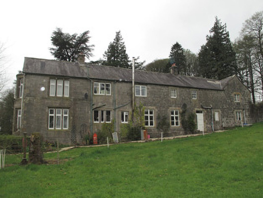 Mullaghmore Houseoutbuilding · 1.1 mi
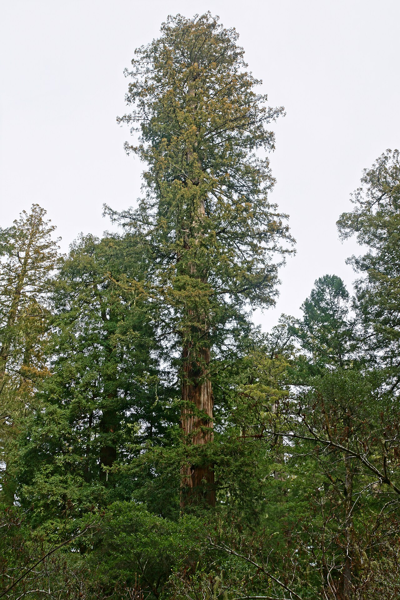 Coast RedwoodCoast Redwood · 1.1 mi
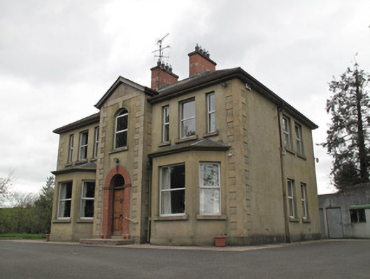 presbytery/parochial/curate's housepresbytery/parochial/curate's house · 1.1 mi
 Not inidcatedFairy fort / earthen ringfort · 1.1 mi
 Sliabh Beagh Hotel and Tourism CentreVisitor information · 2.6 mi
 EshmoreMountain / peak · 3.7 mi
 Rough HillMountain / peak · 3.8 mi
 Sliabh Beagh WayWalking route · 4.2 mi
 Emyvale Heritage TrailVisitor information · 5.2 mi
 Monaghan County MuseumMuseum · 5.2 mi