What is recorded here
Fairy fort / earthen ringfort in Farranshea is a fairy fort or earthen ringfort in Farranshea, County Tipperary, Ireland. It occupies a circular area about 20 metres across in woodland and pasture. A partially visible bank, a shallow ditch and a wider outer bank define the site, although a drain now cuts through the outer bank on the west and south-west.
In woodland and pasture. Circular area, (map dims. C. 20m) defined by extant, yet not clearly visible bank (presumed to be intervening bank reduced to scarp) NW-N-ESE. Scarp (Wth 6m; ext. H 0.65m) is levelled ESE-S-WSW. Intervening fosse (Wth 10m; D 0.1m). Outer bank (Wth 14m; int. H 0.1m; ext. H 0.5m). Drain visible in place of outer bank (WSW-W-WNW). Of the southern levelled sector, not much is discernable due to low profile. Also a possible old stream path for water run-off has existed in the area of the intervening fosse between the possible outer and intervening banks. Earthen field boundary partially covered in furze bushes truncates monument E-W. There is a deeply cut drain within to N. Also deeply cut drain to E of monument therefore there was probably a problem with water and flooding in this area in previous years which would explain the sinuous water channel visible in S-area of monument. Moated site (TS070-023----) located 160m to SE.
Compiled by: Jean Farrelly
Date of upload: 26 August 2011
The monument record does not grant public access. Check the route and ask the landowner before entering private land.
- What survives
- Recorded monument
Places near here
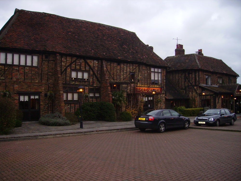 Old Manor Ho. (in ruins)House, 17th century · 255 yd
 Enclosure in FarransheaEnclosure · 409 yd
 Brook Hillhouse · 441 yd
 Enclosure in Saucestown (rathcool Par.)Enclosure · 1084 yd
 Cramp's CastleCastle · 1513 yd
 Kilknockan HillMountain / peak · 1.3 mi
 Knockkelly CastleCastle · 1.4 mi
 East GateMemorial · 1.4 mi
 European YewEuropean Yew · 1.6 mi
 Pedunculate OakPedunculate Oak · 1.6 mi
 CarrigdotiaMountain / peak · 3.4 mi
 Gobban Saer's GraveArchaeological place · 9.1 mi