What is recorded here
Fairy fort in Farranhavane: a low earthen ring, thirty-four metres across, still holding its shape in pasture on an east-facing slope. People may have lived inside that circle before memory faded, tending fire and children while storms passed overhead. The bank remains visible enough to walk, touch, and imagine. What is missing is not the shape but the voices that once filled it.
In pasture, on gentle E-facing slope. Low rise indicates line of bank with gentle slope down towards centre (diam. c. 34m).
The above description is derived from the published 'Archaeological Inventory of County Cork. Volume 1: West Cork' (Dublin: Stationery Office, 1992). In certain instances the entries have been revised and updated in the light of recent research.
Date of upload/revision: 14 January 2009
The monument record does not grant public access. Check the route and ask the landowner before entering private land.
- What survives
- Recorded monument
Places near here
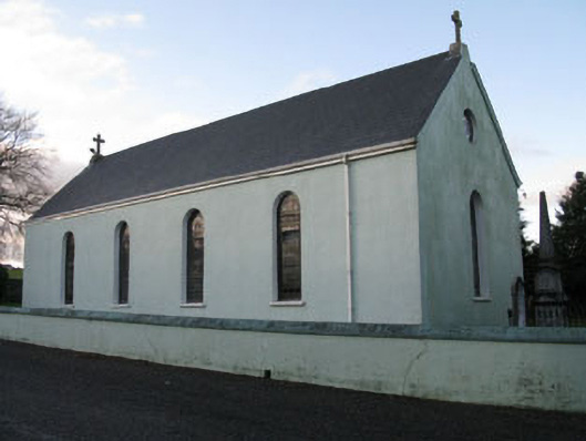 St Martin's Roman Catholic Churchchurch/chapel · 590 yd
 mill (water)mill (water) · 916 yd
 Mount Pleasant WoodWood · 1304 yd
 Burial ground in Laragh (kinalmeaky By.)Burial ground · 1.1 mi
 LisnabanreeFairy fort / earthen ringfort · 1.6 mi
 Castle Nalacht, site ofCastle, unclassified · 2.0 mi
 Towers (in Ruins)House, fortified house · 2.2 mi
 Cottage Road WoodWood · 2.6 mi
 Cathal Hurley MemorialMemorial · 3.1 mi
 Bandon War MemorialMemorial · 3.1 mi
 Carbury's WellSpring · 3.9 mi
 Tobar MacloonaboySpring · 5.4 mi