What is recorded here
Fairy fort / earthen ringfort in Farranavarra is a fairy fort or earthen ringfort in Farranavarra, County Tipperary, Ireland. The levelled site occupies grassland on a northwest-facing slope above high ground that offers views from southwest through west to northwest, north and east. A large hollow depression measuring 25 metres north-south, 27 metres east-west and 0.5 metres deep marks the former circular area enclosed by a bank and external ditch running southwest through north to northeast.
In grassland on a NW-facing slope just off top of high ground with good views from SW through W to NW higher ground to N and E. Large hollow depression (diam. 25m N-S; 27m E-W; D 0.5m) marks location of levelled ringfort. A sketch plan and section of the monument drawn in 1953 shows the monument as depicted on the 2nd (1953-4) ed. OS 6-inch map, as a circular area enclosed by a bank with an external fosse SW-N-NE (OS Field Memorandums).
Compiled by: Jean Farrelly
Date of upload: 26 August 2011
The monument record does not grant public access. Check the route and ask the landowner before entering private land.
- What survives
- Recorded monument
Places near here
 Synone CastleCastle · 666 yd
 Church (In Ruins)Church · 721 yd
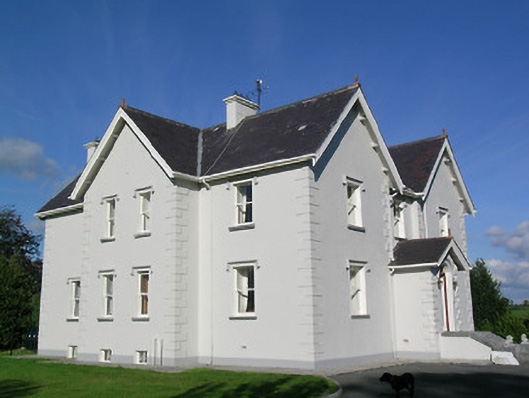 Synone Househouse · 1211 yd
 IndicatedFairy fort / earthen ringfort · 1277 yd
 RathancooleenCastle, ringwork · 1643 yd
 Enclosure in MarshalstownEnclosure · 1.3 mi
 Ballyknock HillMountain / peak · 2.1 mi
 Rock of CashelHeritage attraction · 3.1 mi
 Cormac's ChapelHeritage attraction · 3.1 mi
 The Rock Of CashelVisitor information · 3.1 mi
 Black mulberryBlack mulberry · 3.2 mi
 Clonoulty HillMountain / peak · 5.0 mi