What is recorded here
Fairy fort in Farranastig is a 29-metre earthen ring on a north-facing slope in County Cork, with stone-facing inside the south-east bank and a shallow ditch beside it. A lane crossed the middle on the 1842 map, and gaps still show where entry and exit cut through the bank. People may have lived there, or passed through it, or simply believed the fairies owned it and left it alone.
In pasture, on break in N-facing slope. Circular area (29m N-S) enclosed by earthen bank (H 1.1m), stone faced internally to SE; external fosse (D 0.9m) survives to S where field fence joins bank. Laneway on 1842 OS 6-inch map crosses interior on NE-SW axis; gap survives in bank to NE (Wth 3.4m) and SW (Wth 2.7m). Roadway skirts around bank to W and N.
The above description is derived from the published 'Archaeological Inventory of County Cork. Volume 2: East and South Cork' (Dublin: Stationery Office, 1994). In certain instances the entries have been revised and updated in the light of recent research.
Date of upload/revision: 14 January 2009
The monument record does not grant public access. Check the route and ask the landowner before entering private land.
- What survives
- Recorded monument
Places near here
 IndicatedFairy fort / earthen ringfort · 943 yd
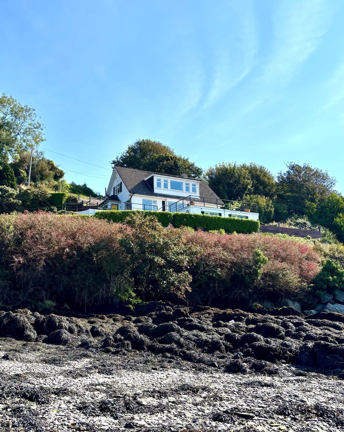 Fulacht fia in Dromgarriff NorthFulacht fia · 1350 yd
 Graveyard in KilmonaGraveyard · 1555 yd
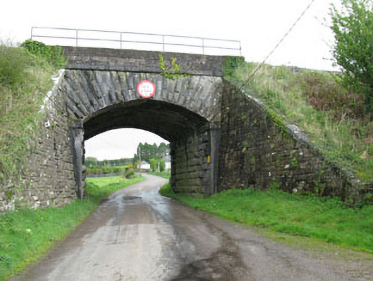 bridgebridge · 1.1 mi
 Ballynaraha Househouse · 1.2 mi
 Pairc Ath Na hEornaMemorial · 1.4 mi
 Garrycloyne Castle (in Ruins)Castle, tower house · 1.6 mi
 BatsVisitor information · 2.6 mi
 Waterloo Loop WalkWalking route · 2.8 mi
 River Martin Mill & WeirVisitor information · 2.8 mi
 Ring WoodWood · 3.4 mi
 Castle (in Ruins)Castle, tower house · 3.5 mi