What is recorded here
Fairy fort / earthen ringfort in Farranaglogh stands on an E-facing slope in County Meath, Ireland. A circular enclosure measured about thirty metres across and appeared only on the 1836 map as a ‘Fort’. By 1995 the visible earthwork had vanished, leaving behind a forgotten shape rather than a lost fact.
Located on an E-facing slope in an undulating landscape. A circular enclosure (ext. diam. c. 30m) is depicted only on the 1836 edition of the OS 6-inch map where it is described in gothic lettering as a ‘Fort’. It was described in 1969 as a circular grass-covered area (diam. c. 27m NE-SW) defined by a scarp (Wth 3.7m; H 1m). There was no visible fosse or entrance. Visible evidence of it was removed by 1995 (OSAP).
The above description is derived from the published 'Archaeological Inventory of County Meath' (Dublin: Stationery Office, 1987). In certain instances the entries have been revised and updated in the light of recent research.
Compiled by: Michael Moore
Date of revision: 31 October 2018
The monument record does not grant public access. Check the route and ask the landowner before entering private land.
- What survives
- Recorded monument
Places near here
 Cave FortFairy fort / earthen ringfort · 759 yd
 Fennor LowerMountain / peak · 1441 yd
 Church (in Ruins)Church · 1710 yd
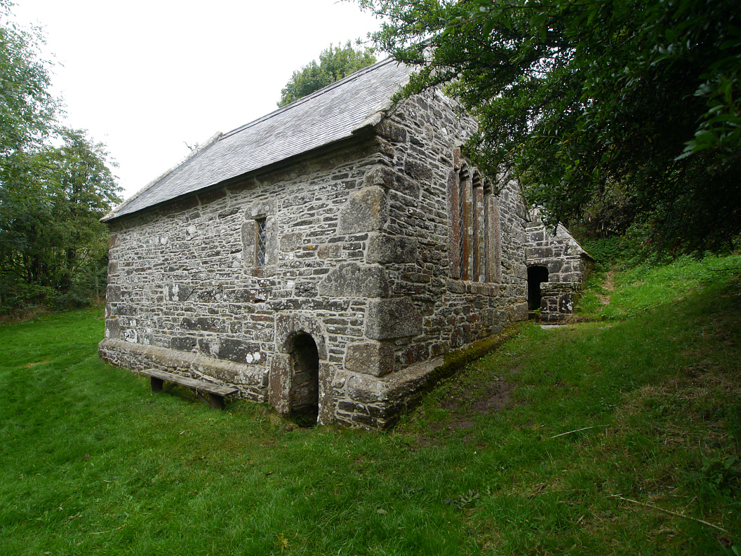 Holy WellHoly well · 1737 yd
 CastleCastle, motte and bailey · 1741 yd
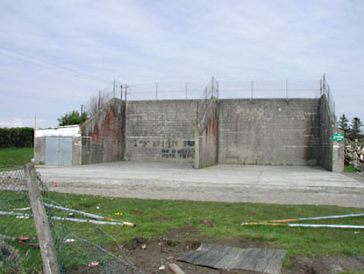 Saint Oliver Post Primary Schoolhandball alley · 1.3 mi
 Memorial CrossMemorial · 1.7 mi
 Mount FortuneMountain / peak · 1.8 mi
 European BeechEuropean Beech · 2.3 mi
 The MoatCastle, motte and bailey · 2.6 mi
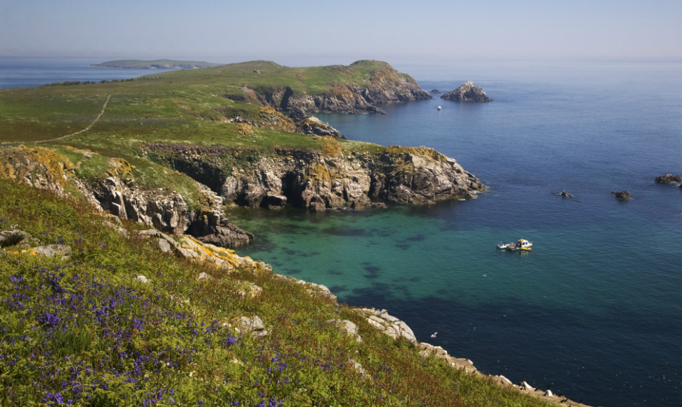 Crossafehin IslandsIslet · 3.5 mi
 C11Named rock · 3.7 mi