What is recorded here
Farran held a twenty-five-metre earthen ring that resisted every cartographer who crossed it. Men drew it in 1842, 1903 and 1937, yet the western and southern banks kept disappearing from their lines until a field was taken across them in the late 1970s or early 1980s. The earth did not vanish; it stopped answering human tools. Under the pasture its two ditches still mark the grass when rain or growth gives them up, while a forgotten laneway cuts through the northern side like a knife through a coin.
In undulating pasture. Depicted as hachured circular enclosure (diam. c. 25m) on 1842, 1903 and 1937 OS 6-inch maps; bank levelled to SW and SE->W on 1903 and 1937 OS 6-inch maps respectively. No visible surface trace of site; according to local information, levelled late 1970s/early 1980s. Bivallate circular enclosure visible as cropmark of fosses in aerial photograph (CASAP); truncated on N side by cropmark of laneway.
The above description is derived from the published 'Archaeological Inventory of County Cork. Volume 4: North Cork' (Dublin: Stationery Office, 2000). In certain instances the entries have been revised and updated in the light of recent research.
Date of upload/revision: 14 January 2009
The monument record does not grant public access. Check the route and ask the landowner before entering private land.
- What survives
- Recorded monument
Places near here
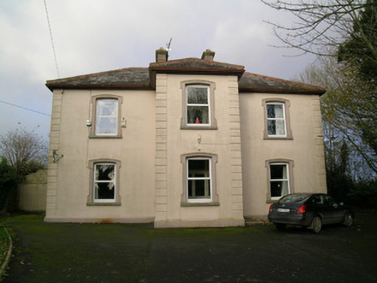 presbytery/parochial/curate's housepresbytery/parochial/curate's house · 604 yd
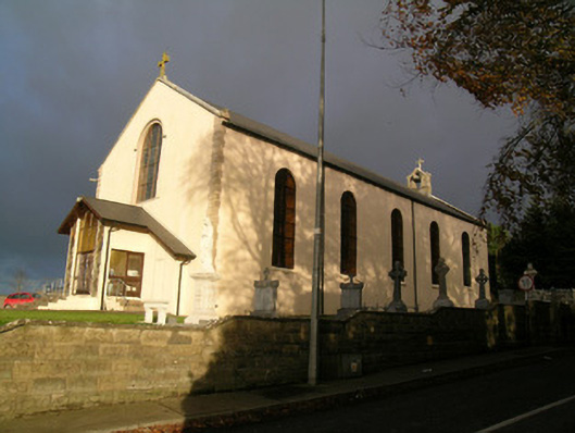 Saint Mary's Roman Catholic Churchchurch/chapel · 639 yd
 Moated site in BallynadrideenMoated site · 694 yd
 IndicatedEnclosure · 736 yd
 Castle Harrison on Site of Castle (19*Castle, unclassified · 1489 yd
 CastleCastle, motte · 1.6 mi
 CarrigeenMountain / peak · 2.0 mi
 BallinaboolaVisitor information · 2.2 mi
 Holy Cross CemeteryGraveyard · 2.5 mi
 Ballyhoura WayWalking route · 3.2 mi
 Caher HillMountain / peak · 3.7 mi
 Rogan's Rock CovertWood · 4.1 mi